- Usage in publication:
-
- Magalloway Member*
- Modifications:
-
- Revised
- Age modified
- AAPG geologic province:
-
- New England province
Summary:
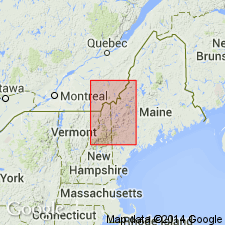
Previously mapped as the Middle Ordovician Magalloway Member of the Dixville Formation by Green (1968) and Harwood (1973). In the Second Connecticut Lake and Cupsuptic 15-min quads, ME, Magalloway is revised as a member of the Late Cambrian(?) Jim Pond Formation; Dixville Formation not used in this report. However, at Thrashers Peak, in Cupsuptic quad, rocks previously mapped as Magalloway Member of Dixville are now assigned to Ironbound Mountain Formation. Age changed to Cambrian(?) based on U-Pb zircon age of 520 Ma for Jim Pond Formation (J.N. Aleinikoff, this report).
Source: GNU records (USGS DDS-6; Reston GNULEX).
For more information, please contact Nancy Stamm, Geologic Names Committee Secretary.
Asterisk (*) indicates published by U.S. Geological Survey authors.
"No current usage" (†) implies that a name has been abandoned or has fallen into disuse. Former usage and, if known, replacement name given in parentheses ( ).
Slash (/) indicates name conflicts with nomenclatural guidelines (CSN, 1933; ACSN, 1961, 1970; NACSN, 1983, 2005, 2021). May be explained within brackets ([ ]).

