

- Usage in publication:
-
- Madson basalt*
- Modifications:
-
- Original reference
- Dominant lithology:
-
- Basalt
- AAPG geologic province:
-
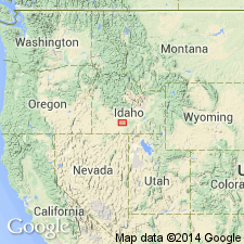
- Snake River basin
Summary:
Pg. 434-439; H.T. Stearns, 1932 (Correlation chart of Idaho compiled by M.G. Wilmarth, dated Sept 1, 1932). Madson basalt. Diabasic black basalt, in most places regularly jointed, and filling a former canyon of Snake River carved in Hagerman lake beds. Exposed thickness 200 feet. Older than Malad basalt and younger than American Falls lake beds. Age is Pleistocene. Madson Spring, Gooding Co., issues from this basalt.
Source: US geologic names lexicon (USGS Bull. 896, p. 1266).
- Usage in publication:
-
- Madson basalt*
- Modifications:
-
- Principal reference
- AAPG geologic province:
-
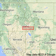
- Snake River basin
Summary:
Pg. 30, 72-74, pls. 4, 5. Madson basalt. Fine-grained black basalt, so dense as to resemble a slate. Shows remarkable regular and tight columnar jointing. Thickness about 200 feet. Older than Malad basalt. Stratigraphically above Hagerman lake beds. Underlies McKinney basalt. Source of basalt was probably Little Gooding Butte, located about 9 miles northeast of Steele Springs, near town of Gooding. Age is Pleistocene. Origin of name.
Named from Madson Spring(s) [local name], in NE/4 NE/4 sec. 20, T. 6 S., R. 13 E., Gooding Co., southern ID, which issues from alluvium some distance below outcrops of basalt. Crops out directly above talus and beneath basalts in east wall of Snake River Canyon near Steele Springs [local name], in SE/4 sec. 21, T. 6 S., R. 13 E., 0.5 mi downstream from mouth of Big Wood River, [Bliss 7.5-min quadrangle], Gooding Co., southern ID.
Source: Publication; US geologic names lexicon (USGS Bull. 1200, p. 2323).
- Usage in publication:
-
- Madson Basalt*
- Modifications:
-
- Revised
- AAPG geologic province:
-
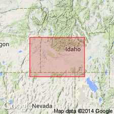
- Snake River basin
Summary:
Pg. 1199 (fig. 1), 1213, pl. Madson Basalt of Snake River Group (new). Basal formation of group. Consists of 4+ flows of columnar lava, each about 50 feet thick. Lies below Sugar Bowl Gravel of Snake River Group and above Black Mesa Gravel of Idaho Group. Age is late Pleistocene.
From Madson Spring [no longer exists; approx. Lat. 42 deg. 53 min. 36 sec. N., Long. 114 deg. 55 min. 54 sec. W.], crops out intermittently in northern canyon wall of the Snake River for about 12 mi downstream and for about 3 mi upstream to lower reach of Big Wood River (=gorge known as Malad Canyon), Gooding and Twin Falls Cos., southern ID; maximum exposed thickness about 200 feet near Bliss Dam, Gooding Co., southern ID.
Source: Publication.
- Usage in publication:
-
- Madson Basalt*
- Modifications:
-
- Geochronologic dating
- AAPG geologic province:
-
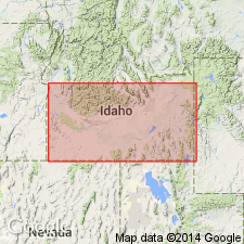
- Snake River basin
Summary:
Pg. 239. Madson Basalt of Snake River Group. Oldest lava of Snake River Group, western Snake River Plain, southern Idaho. Sample yielded K-Ar age of 0.54 +/-0.08 Ma; [North American land mammal age Irvingtonian, late Pleistocene]. Report includes sample locality map, schematic stratigraphic-chronologic diagram, table of K-Ar ages.
Source: Publication.
For more information, please contact Nancy Stamm, Geologic Names Committee Secretary.
Asterisk (*) indicates published by U.S. Geological Survey authors.
"No current usage" (†) implies that a name has been abandoned or has fallen into disuse. Former usage and, if known, replacement name given in parentheses ( ).
Slash (/) indicates name conflicts with nomenclatural guidelines (CSN, 1933; ACSN, 1961, 1970; NACSN, 1983, 2005, 2021). May be explained within brackets ([ ]).