- Usage in publication:
-
- Lost Creek bed
- Modifications:
-
- Original reference
- Dominant lithology:
-
- Clay
- AAPG geologic province:
-
- Bend arch
Summary:
Pg. 421, 422. Lost Creek bed in Albany division. Red, bluish, or yellowish sandy clay, 25 to 50 feet thick. Member of Albany division [Albany is uppermost of 5 Carboniferous divisions of Cummins, 1891]. Overlies Coleman Junction bed and underlies Hordes Creek bed. Age is possibly Permian.
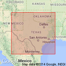
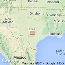
[Named from Lost Creek, Coleman Co., Colorado River region, central TX.]
Source: Publication; US geologic names lexicon (USGS Bull. 896, p. 1220).

- Usage in publication:
-
- Lost Creek shale [member]
- Modifications:
-
- Revised
- AAPG geologic province:
-
- Bend arch
Summary:
"Lost Creek Bed" of Albany division (of Drake, 1893) is here revised--assigned as Lost Creek shale [member] of newly named Admiral formation of Wichita group (revised) in the Colorado River Valley, north-central TX on Bend arch. Author's note: There is a tendency among geologists to refer to the Permian in the Albany and Wichita areas as the "Albany-Wichita group" and to speak of the marine limestone facies of the Brazos Valley as "Albany Beds" and the red strata of the Red River as "Wichita Red Beds." Lost Creek is not present in Brazos River Valley. In Brazos River Valley the Admiral formation is divided into following members (ascending): unnamed limestone and shale; and Elm Creek limestone. In the Colorado River Valley members are (ascending): Lost Creek shale; Hordes Creek limestone; unnamed limestone and shale; and Elm Creek limestone. In a section measured along the Santa Fe RR, 3 1/2 mi southwest of Coleman, Coleman Co, TX, Lost Creek consists of shale, 46 ft thick. Measured section. Stratigraphic chart. Of Permian age.
Source: GNU records (USGS DDS-6; Denver GNULEX).
For more information, please contact Nancy Stamm, Geologic Names Committee Secretary.
Asterisk (*) indicates published by U.S. Geological Survey authors.
"No current usage" (†) implies that a name has been abandoned or has fallen into disuse. Former usage and, if known, replacement name given in parentheses ( ).
Slash (/) indicates name conflicts with nomenclatural guidelines (CSN, 1933; ACSN, 1961, 1970; NACSN, 1983, 2005, 2021). May be explained within brackets ([ ]).

