


- Usage in publication:
-
- Los Pinos gravel*
- Modifications:
-
- Original reference
- Dominant lithology:
-
- Gravel
- AAPG geologic province:
-
- San Juan basin
Summary:
Los Pinos gravel. Stream-deposited gravel, sand, and boulders with some interbedded tuff and lava flows. Thickness 500+ feet. Underlies Hinsdale volcanic series and is contemporaneous with Bayfield and Bridgetimber gravels. Age is Tertiary(?) (Pliocene?).
Named by E.S. Larsen, for exposures in canyon of Los Pinos Creek, near town of San Miguel, in extreme northern part of NM, about 10 or 12 mi southwest of Antonito, Conejos Co., central southern CO.
Source: US geologic names lexicon (USGS Bull. 896, p. 1219).
- Usage in publication:
-
- Los Pinos member*
- Modifications:
-
- Revised
- AAPG geologic province:
-
- San Juan basin
- San Luis basin
Summary:
[Credited to Larsen.] Los Pinos member of Hinsdale formation. Included in Hinsdale formation because so closely related to overlying rocks as to properly constitute a member of that formation. [Age is Tertiary(?) (Pliocene?).]
[Typographical error (US geologic names lexicon, USGS Bull. 896, p. 1219): a 1934 date of publication listed; should be 1935.]
Source: US geologic names lexicon (USGS Bull. 896, p. 1219).
- Usage in publication:
-
- Los Pinos formation
- Modifications:
-
- Revised
- AAPG geologic province:
-
- San Juan basin
Summary:
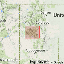
Mapped in Rio Arriba Co, NM in San Juan basin in the sense of Butler (1946). Name applied to all rocks that overlie Treasure Mountain welded tuff and unconformably underlie the Cisneros basalt. Divided into Biscara, Esquibel, Jarita basalt, and Cordito members. Assigned to the Pliocene?.
Source: GNU records (USGS DDS-6; Denver GNULEX).
- Usage in publication:
-
- Los Pinos Formation*
- Modifications:
-
- Revised
- AAPG geologic province:
-
- San Juan Mountains province
- San Juan basin
Summary:
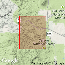
Crops out over an area of 26,000 sq km in the Tusas Mountains, north-central NM, San Juan basin and San Luis basin and San Juan Mountains, CO, San Juan Mountain province. Divided into Esquibel and Cordito Members (adopted) which are largely contemporaneous and represent alluvial deposits that spread from different source areas into the basin. Depending on locality, may overlie Conejos or El Rito Formations, Treasure Mountain or Masonic Park Tuffs, or Precambrian rocks. Intertongues with Santa Fe Group. Is late Oligocene through late Miocene age on basis of stratigraphic position. The underlying Treasure Mountain and Masonic Park have been dated at 29.8 to 28.2 m.y. Interbedded flows have been dated at 17.7 m.y. and 20.7 m.y. Flows in Hinsdale Formation, which is interbedded with Los Pinos in southern CO, are dated from 26.5 to 5 m.y. Flows from the overlying Servilleta Formation are 4.5 m.y. old.
Source: GNU records (USGS DDS-6; Denver GNULEX).
For more information, please contact Nancy Stamm, Geologic Names Committee Secretary.
Asterisk (*) indicates published by U.S. Geological Survey authors.
"No current usage" (†) implies that a name has been abandoned or has fallen into disuse. Former usage and, if known, replacement name given in parentheses ( ).
Slash (/) indicates name conflicts with nomenclatural guidelines (CSN, 1933; ACSN, 1961, 1970; NACSN, 1983, 2005, 2021). May be explained within brackets ([ ]).