

- Usage in publication:
-
- Long Trail shale member*
- Modifications:
-
- Named
- Dominant lithology:
-
- Shale
- AAPG geologic province:
-
- Great Basin province
Summary:
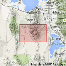
Named as the middle member of the Upper Mississippian Great Blue limestone for exposures at head of Long Trail Gulch in Ophir Canyon, T5S, R4W, Tooele Co, UT in the Great Basin province. Overlies lower limestone of Great Blue; underlies upper limestone of Great Blue. Consists of black carbonaceous shale. Is 85 ft thick at head of Long Trail Gulch, but is much thinner elsewhere. Is the only marker present in the Great Blue. Mapped (geologic map) as a thin persistent unit in central and south-central part of map. Lies 500 ft above base of formation. Stratigraphic table.
Source: GNU records (USGS DDS-6; Denver GNULEX).
For more information, please contact Nancy Stamm, Geologic Names Committee Secretary.
Asterisk (*) indicates published by U.S. Geological Survey authors.
"No current usage" (†) implies that a name has been abandoned or has fallen into disuse. Former usage and, if known, replacement name given in parentheses ( ).
Slash (/) indicates name conflicts with nomenclatural guidelines (CSN, 1933; ACSN, 1961, 1970; NACSN, 1983, 2005, 2021). May be explained within brackets ([ ]).