

- Usage in publication:
-
- Lodi shale member
- Modifications:
-
- Named
- Dominant lithology:
-
- Sandstone
- Shale
- AAPG geologic province:
-
- Wisconsin arch
Summary:
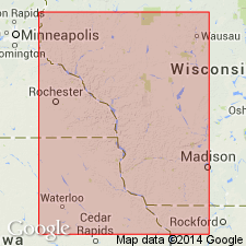
Lodi shale member of Trempealeau formation is term proposed for the usually yellow, calcareous shale-like sandstone that lies between Norwalk sandstone and St. Lawrence limestone. Member is widely distributed and outcrops are recognizable from Stillwater, MN, and Osceola, WI, on the north to Spring Green on the south and vicinity of Madison on the east. Locally the characteristically yellow shale is interbedded with purple shale as in vicinity of Mazomanie, or with layers of sandstone, and in other places with dolomitic limestone, but even without considering the fossils there is seldom any difficulty in recognizing the Lodi shale. Thickness rarely less than 15 ft with 50 ft maximum and 25 ft approximate average. Usually fossiliferous and so far as known its fauna is almost entirely confined to this member.
Source: GNU records (USGS DDS-6; Reston GNULEX).
- Usage in publication:
-
- Lodi Member
- Modifications:
-
- Overview
- Dominant lithology:
-
- Siltstone
- AAPG geologic province:
-
- Wisconsin arch
Summary:
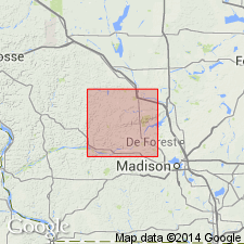
At this time, St. Lawrence Formation, which is about 10 m thick in study area, is considered to have just two subdivisions: the lower Black Earth Member (dolomite) and the upper Lodi Member (siltstone). St. Lawrence has previously been lumped with part or all of the overlying Jordan Sandstone and referred to the Trempealeau Group. Term Trempealeau is no longer used in WI in a lithostratigraphic sense. Black Earth is apparently absent in some northern parts of the county and thickens to no more than a few meters in the southern part. Interfingers with Lodi Member. Lodi Member makes up the bulk of the St. Lawrence. Though top and bottom rarely exposed, Lodi estimated at 10 m in Sauk Co. Consists primarily of pale yellow siltstone (when fresh) with uniform planar bedding, locally stained with various shades of red. Gray shale and beds of very fine grained sandstone also present. Siltstone is commonly dolomitic and slightly bioturbated. Some well preserved fossils. St. Lawrence overlies Lone Rock and Mazomanie Members of Tunnel City Formation.
Source: GNU records (USGS DDS-6; Reston GNULEX).
For more information, please contact Nancy Stamm, Geologic Names Committee Secretary.
Asterisk (*) indicates published by U.S. Geological Survey authors.
"No current usage" (†) implies that a name has been abandoned or has fallen into disuse. Former usage and, if known, replacement name given in parentheses ( ).
Slash (/) indicates name conflicts with nomenclatural guidelines (CSN, 1933; ACSN, 1961, 1970; NACSN, 1983, 2005, 2021). May be explained within brackets ([ ]).