The National Geologic Map Database is migrating to a new infrastructure. We apologize for any service disruptions during this process.
|
|---|


- Usage in publication:
-
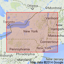
- Lockport limestone
- Modifications:
-
- Named
- Dominant lithology:
-
- Limestone
- AAPG geologic province:
-
- Appalachian basin
Summary:
Lockport limestone (new name) refers to limestone at Lockport [NY] excavated for passage of the Erie canal. Here, rock possesses to great degree a geodiferous character. To the east it becomes a dark, nearly black, compact limestone. Overlies Rochester shale and underlies the red shale [Salina formation] forming basal part of Onondaga saliferous group. Is top formation of Protean group of Vanuxem.
Source: GNU records (USGS DDS-6; Reston GNULEX).
- Usage in publication:
-
- Lockport group
- Modifications:
-
- Revised
- AAPG geologic province:
-
- Appalachian basin
Summary:
Raised the rank of the Lockport to the Lockport group in NY. Group comprises (ascending) the Gasport limestone, Goat Island limestone, Eramosa dolomite, and Devils Hole dolomite. Thickness is about 210 feet in type area. Dolomite and limestone grades into to shale east of Syracuse and name Ilion is proposed. Unit overlies the Rochester shale and underlies the Salina group. The Lockport is of Middle Silurian age.
Source: GNU records (USGS DDS-6; Reston GNULEX).
- Usage in publication:
-
- Lockport group
- Modifications:
-
- Areal extent
- AAPG geologic province:
-
- Appalachian basin
Summary:
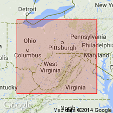
Geographically extended the Lockport group into WV and PA where it is part of the Niagaran Series. Group consists of the McKenzie formation and "Keefer" sandstone. The Lockport group overlies the Rochester shale of the Clinton group and underlies the Williamsport sandstone.
Source: GNU records (USGS DDS-6; Reston GNULEX).
- Usage in publication:
-
- Lockport Formation, Dolomite
- Modifications:
-
- Revised
- AAPG geologic province:
-
- Appalachian basin
Summary:
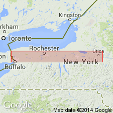
The Lockport Dolomite is divided into members in several different geographic areas of the State of NY. In the Niagara Falls region, the Lockport is divided into (ascending) the De Cew [sic], Gasport, Goat Island, Eramosa and Oak Orchard Members; in Rochester region it is divided into the De Cew [sic], Penfield, and Oak Orchard Members; in Syracuse region the Lockport contains the Sconondoa Member; and in the Utica region it contains the Ilion Member.
Source: GNU records (USGS DDS-6; Reston GNULEX).
- Usage in publication:
-
- Lockport Dolomite
- Modifications:
-
- Areal extent
- AAPG geologic province:
-
- Appalachian basin
Summary:
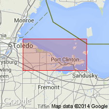
Geographically extended the Lockport Dolomite to OH. Author states that the Lockport Dolomite crops out along the axis of the Findlay Arch and is of Middle Silurian age.
Source: GNU records (USGS DDS-6; Reston GNULEX).
- Usage in publication:
-
- Lockport Dolomite
- Modifications:
-
- Areal extent
- Revised
Summary:
Geographically extended the Lockport Dolomite to the subsurface of eastern KY and included it in the Hunton Group. Unit overlies the Big Six sandstone (economic) and underlies the Salina Formation. The Lockport is of Middle Silurian age.
Source: GNU records (USGS DDS-6; Reston GNULEX).
- Usage in publication:
-
- Lockport Group
- Modifications:
-
- Overview
- AAPG geologic province:
-
- Appalachian basin
Summary:
Lockport in this report is considered Late Silurian following Rickard (1975) as the NY Geological Survey does not recognize Middle Silurian as does the USGS. The revisions to the Lockport nomenclature discussed in this report will be formally proposed by C.E. Brett in a larger study of the Niagaran Series. The Lockport Group is divided into the (ascending) Gasport Limestone, the Goat Island Dolomite, the Eramosa Dolomite, and the Guelph Dolomite. The Gasport includes the Gothic Hill and Pekin Members, and the Goat Island includes the Niagara Falls, Ancaster, and Vinemount Members. [Though three of the authors of this report (Tepper, Kappel, and Yager) are USGS scientists, the nomenclature used here has not been officially accepted for use by the USGS.]
Source: GNU records (USGS DDS-6; Reston GNULEX).
- Usage in publication:
-
- Lockport Group
- Modifications:
-
- Age modified
- AAPG geologic province:
-
- Appalachian basin
Summary:
Fossil deposit occurring in the middle part of the Lockport Group, midway through the Niagara Falls Member (of Brett and others, in press) of the Goat Island Formation, is termed MEDUSAEGRAPTUS epibole. Contains graptoloid graptolites, which are the first ever to be recovered from the Lockport Group and indicate an earliest Ludlovian age. Occurrence of these graptolites indicates the boundary between the Wenlockian and Ludlovian Series in western NY is at or below the base of the Niagara Falls Member. Previously this boundary had been placed much higher in the section.
Source: GNU records (USGS DDS-6; Reston GNULEX).
- Usage in publication:
-
- Lockport Dolomite
- Modifications:
-
- Overview
- AAPG geologic province:
-
- Michigan basin
Summary:
Rock units forming the bedrock in the Maumee, Lucas Co., OH, and that crop out in the walls of a quarry are the Lockport Dolomite and the Greenfield Dolomite. The two form a thick reef complex roughly 600 m in diameter and about 68 m thick. The Lockport contains multistory stromatolite, thrombolite, and coral-microbialite reefs that were probably formed in a subtidal setting within a hypersaline lagoon. Lockport may be Wenlockian or Llandoverian to Ludlovian. In contrast to the mostly massive Lockport, the Greenfield at Maumee quarry is well bedded. It is Wenlockian, according to Shaver (1991), but fig. 16 of this report (after Howell, 1993) depicts the Greenfield as Llandoverian with a significant hiatus between deposition of the two units.
Source: GNU records (USGS DDS-6; Reston GNULEX).
- Usage in publication:
-
- Lockport Group*
- Modifications:
-
- Revised
- AAPG geologic province:
-
- Appalachian basin
Summary:
The Lockport Group in western NY consists of (ascending) the Gasport Dolomite, Goat Island Dolomite, Eramosa Dolomite, and Guelph Dolomite whose contacts are revised herein. The group is about 160 to 175 feet thick and consists of massive to medium-bedded, argillaceous dolomite with minor amounts of dolomitic limestone and shale. The Lockport extends from Niagara Falls 200 miles east to Ilion, NY where it pinches out. Unconformably overlies the Clinton Group (DeCew Dolomite) and conformably underlies the Salina Group (Vernon Shale). The upper contact is placed at the first thick (greater than 1 inch) black shale interbed of the Salina Group. The Lockport is of Early and Late Silurian (Wenlockian and Ludlovian) age. [Report uses Silurian time scale of Harland (1982).]
Source: GNU records (USGS DDS-6; Reston GNULEX).
For more information, please contact Nancy Stamm, Geologic Names Committee Secretary.
Asterisk (*) indicates published by U.S. Geological Survey authors.
"No current usage" (†) implies that a name has been abandoned or has fallen into disuse. Former usage and, if known, replacement name given in parentheses ( ).
Slash (/) indicates name conflicts with nomenclatural guidelines (CSN, 1933; ACSN, 1961, 1970; NACSN, 1983, 2005, 2021). May be explained within brackets ([ ]).