The National Geologic Map Database is migrating to a new infrastructure. We apologize for any service disruptions during this process.
|
|---|


- Usage in publication:
-
- Lobelville formation*
- Modifications:
-
- Named
- Dominant lithology:
-
- Shale
- Limestone
- AAPG geologic province:
-
- Cincinnati arch
Summary:
Lobelville formation named as top formation of Brownsport group. Lower 9 to 31 ft, called Bryozoan zone, consists of red and purple shales overlain by soft blue to white shales. Upper 0 to 45 ft, called Coral zone, usually consists of thin-bedded clayey limestone and whitish shales so prolific in fossils that their disintegration upon hillsides leaves the ground covered with specimens. Overlies Bob formation and underlies Decatur limestone. Age is Silurian (Niagaran).
Source: GNU records (USGS DDS-6; Reston GNULEX).
- Usage in publication:
-
- Lobelville shaly limestone member*
- Modifications:
-
- Revised
- AAPG geologic province:
-
- Cincinnati arch
Summary:
Lobelville formation revised. Now considered top member of Brownsport formation. Age is Silurian (Niagaran).
Source: GNU records (USGS DDS-6; Reston GNULEX).
- Usage in publication:
-
- Lobelville
- Modifications:
-
- Not used
- AAPG geologic province:
-
- Cincinnati arch
Summary:
Author proposes that terms Beech River, Bob, and Lobelville be abandoned as there does not appear to be any valid basis for subdividing Brownsport into three members or formations.
Source: GNU records (USGS DDS-6; Reston GNULEX).

- Usage in publication:
-
- Lobelville formation
- Modifications:
-
- Areal extent
- AAPG geologic province:
-
- Cincinnati arch
Summary:
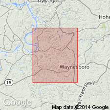
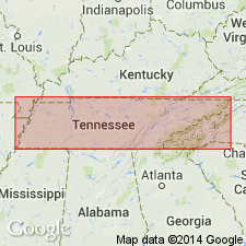
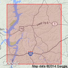
Pg. 264-266, figs. 2, 78. Lobelville formation of Brownsport group. Included in Brownsport group. Conformably overlies Bob limestone; where Bob limestone is not typically developed, Lobelville and Beech River, locally in contact, cannot be separated lithologically; unconformably underlies Decatur limestone, a Devonian formation, or Chattanooga shale. In deeper part of structural saddle between Nashville dome and southeastern extension of Ozark dome, thickness averages 35 feet, locally being 40 or 50 feet. Distribution restricted to parts of Hardin, Wayne, Decatur, Perry, and Hickman Counties. [Age is Middle Silurian.]
Source: US geologic names lexicon (USGS Bull. 1200, p. 2206).
- Usage in publication:
-
- Lobelville Member*
- Modifications:
-
- Biostratigraphic dating
- AAPG geologic province:
-
- Cincinnati arch
Summary:
Lobelville Member of Brownsport Formation occurs in du Pont Geohydrological Survey well near Waverly, Humphreys Co., central TN. Specimen of conodont PSEUDOONEOTODUS BICORNIS? at 607.4 to 608.4 ft in underlying Bob Limestone Member could indicate an early Ludlovian or older Wenlockian age at that level. Overall age of Brownsport is Wenlockian to Pridolian.
Source: GNU records (USGS DDS-6; Reston GNULEX).
For more information, please contact Nancy Stamm, Geologic Names Committee Secretary.
Asterisk (*) indicates published by U.S. Geological Survey authors.
"No current usage" (†) implies that a name has been abandoned or has fallen into disuse. Former usage and, if known, replacement name given in parentheses ( ).
Slash (/) indicates name conflicts with nomenclatural guidelines (CSN, 1933; ACSN, 1961, 1970; NACSN, 1983, 2005, 2021). May be explained within brackets ([ ]).