- Usage in publication:
-
- Little Hat Top Fanglomerate
- Modifications:
-
- First used
- Dominant lithology:
-
- Fanglomerate
- AAPG geologic province:
-
- Pedregosa basin
Summary:
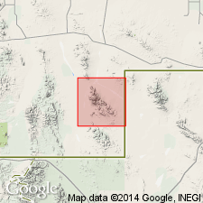
First used in southeast Hidalgo Co, NM, Pedregosa basin. [Probably named for butte located just to south of quad in NE1/4 sec 25, T32S, R15W]. Intention to name not stated; no type locality designated; no lithologic description. Mapped in southern part of quad where unit dips gently southward under Tertiary volcanic rocks of Alamo Hueco Mountains. Overlies Mojado Formation of Bisbee Group with angular unconformity; unconformably? underlies Tertiary andesite flows. Assigned Tertiary age.
Source: GNU records (USGS DDS-6; Denver GNULEX).

- Usage in publication:
-
- Little Hat Top Conglomerate*
- Modifications:
-
- Age modified
- Mapped 1:24k
- Redescribed
- Revised
- Dominant lithology:
-
- Conglomerate
- Sandstone
- Fanglomerate
- AAPG geologic province:
-
- Pedregosa basin
Summary:
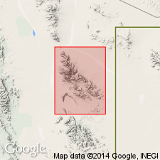
Little Hat Top Conglomerate of Zeller (1975). Mapped in Big Hatchet Mountains, Hidalgo County, southwestern New Mexico. Light-gray, poorly indurated, poorly sorted conglomerate and some sandstone. Clasts commonly of cobble or pebble size but includes some boulder deposits and sedimentary breccia or fanglomerate deposits near and beyond southern border of map. In Big Horn Canyon, beds near an interbedded andesite lava flow (Ta) are reddish brown and rich in andesite clasts; elsewhere, limestone clasts derived from Permian and Cretaceous formations are dominant. Sandstone beds near lava flow had been assigned to base of Hell-to-Finish Formation by Zeller (1960, 1965). Underlies "Formation of Bluff Creek" of Zeller and Alper (1965); overlies Bisbee Group. Thickness 0 to 330 feet (0 to 100 m). Age is Oligocene.
Source: Publication.
For more information, please contact Nancy Stamm, Geologic Names Committee Secretary.
Asterisk (*) indicates published by U.S. Geological Survey authors.
"No current usage" (†) implies that a name has been abandoned or has fallen into disuse. Former usage and, if known, replacement name given in parentheses ( ).
Slash (/) indicates name conflicts with nomenclatural guidelines (CSN, 1933; ACSN, 1961, 1970; NACSN, 1983, 2005, 2021). May be explained within brackets ([ ]).

