The National Geologic Map Database is migrating to a new infrastructure. We apologize for any service disruptions during this process.
|
|---|


- Usage in publication:
-
- Linville metadiabase*
- Modifications:
-
- Named
- Dominant lithology:
-
- Diabase
- AAPG geologic province:
-
- Piedmont-Blue Ridge province
Summary:
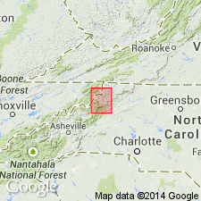
Linville metadiabase named in Mitchell Co., western NC. Consists of altered dull yellowish-green diabase and gabbro. Near line of Blue Ridge, Linville is associated with Montezuma schist, Flattop schist, and Cambrian quartzites, and in several narrow bands south of Blue Ridge with Cranberry granite. Age is Precambrian.
Source: GNU records (USGS DDS-6; Reston GNULEX).
- Usage in publication:
-
- Linville Metadiabase*
- Modifications:
-
- Overview
- Dominant lithology:
-
- Metadiabase
- AAPG geologic province:
-
- Piedmont-Blue Ridge province
Summary:
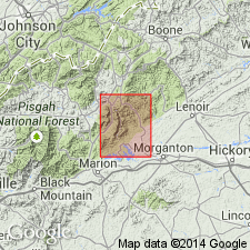
Linville Diabase consists of medium- to fine-grained, blue-green, green, or gray, massive or schistose metadiabase. Amphibole grains or plagioclase laths visible on some weathered surfaces. Occurs as dikes and sill-like bodies intrusive into Grandfather Mountain Formation. Relations of Linville Metadiabase to metabasalts of Montezuma Member of Grandfather Mountain Formation indicate that diabase was intrusive equivalent of basalt; therefore, Linville is late Precambrian in age.
Source: GNU records (USGS DDS-6; Reston GNULEX).
- Usage in publication:
-
- Linville Metadiabase*
- Modifications:
-
- Revised
- AAPG geologic province:
-
- Piedmont-Blue Ridge province
Summary:
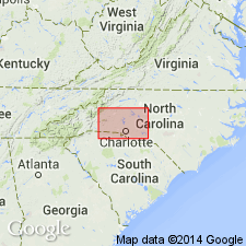
Linville Metadiabase here mapped as part of Crossnore Complex, revised from Crossnore Plutonic-Volcanic Complex of Rankin and others (1983) and Crossnore plutonic-volcanic group of Rankin and others (1973).
Source: GNU records (USGS DDS-6; Reston GNULEX).
For more information, please contact Nancy Stamm, Geologic Names Committee Secretary.
Asterisk (*) indicates published by U.S. Geological Survey authors.
"No current usage" (†) implies that a name has been abandoned or has fallen into disuse. Former usage and, if known, replacement name given in parentheses ( ).
Slash (/) indicates name conflicts with nomenclatural guidelines (CSN, 1933; ACSN, 1961, 1970; NACSN, 1983, 2005, 2021). May be explained within brackets ([ ]).