- Usage in publication:
-
- Limberlost Dolomite
- Modifications:
-
- Named
- Dominant lithology:
-
- Dolomite
- AAPG geologic province:
-
- Cincinnati arch
Summary:
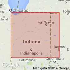
Limberlost Dolomite here named for area near Geneva, Adams Co., northeastern IN, which includes Limberlost Church and Limberlost Creek. Previously upper part of Salamonie Dolomite. Type and reference sections designated. Consists of brown and tan fine- to medium-grained, oolitic, reef-bearing dolomite. Thickness at type section 5.5 m. Maximum thickness 21 m. Conformably overlies Salamonie Dolomite; conformably underlies Waldron Formation. Equivalent to Greenfield Dolomite of northwestern OH. Age is Middle Silurian.
Source: GNU records (USGS DDS-6; Reston GNULEX).

- Usage in publication:
-
- Limberlost Dolomite Member
- Modifications:
-
- Revised
- AAPG geologic province:
-
- Cincinnati arch
Summary:
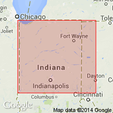
Limberlost Dolomite reduced in rank to Limberlost Dolomite Member and assigned to the base of the newly named Pleasant Mills Formation of Salina Group. Overlies Salamonie Dolomite; underlies unnamed strata equivalent to Louisville and Waldron.
Source: GNU records (USGS DDS-6; Reston GNULEX).

- Usage in publication:
-
- Limberlost Dolomite Member
- Modifications:
-
- Overview
- AAPG geologic province:
-
- Cincinnati arch
Summary:
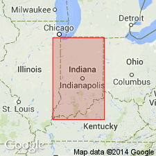
The Limberlost Dolomite Member of the Pleasant Mills Formation is made up of several subtly different carbonate facies, the dominant one consisting of light-brown micritic to fine-grained rather pure dolomite. Variations include fine-grained, faintly to strongly laminated and color-banded dolomite, oolitic dolomite, coarser grained bioclastic vuggy dolomite, and bluish-gray mudstone dolomite. Granularity decreases and laminated appearance increases northward and eastward. Unit extends from central eastern IN to Shelby Co. and then northward to southern Lake Co. Overlies Salamonie Dolomite and underlies the Waldron Member of the Pleasant Mills Formation. Contains a common late Llandoverian to middle Wenlockian guide fossil (brachiopod). Closely equivalent units include the Greenfield Dolomite of western OH and the Sugar Run Formation of northeastern IL. Unit is likely time-transgressive.
Source: GNU records (USGS DDS-6; Reston GNULEX).
For more information, please contact Nancy Stamm, Geologic Names Committee Secretary.
Asterisk (*) indicates published by U.S. Geological Survey authors.
"No current usage" (†) implies that a name has been abandoned or has fallen into disuse. Former usage and, if known, replacement name given in parentheses ( ).
Slash (/) indicates name conflicts with nomenclatural guidelines (CSN, 1933; ACSN, 1961, 1970; NACSN, 1983, 2005, 2021). May be explained within brackets ([ ]).

