The National Geologic Map Database is migrating to a new infrastructure. We apologize for any service disruptions during this process.
|
|---|


- Usage in publication:
-
- Licklog formation*
- Modifications:
-
- Named
- Dominant lithology:
-
- Siltstone
- Shale
- Sandstone
- Conglomerate
- AAPG geologic province:
-
- Appalachian basin
Summary:
Named as a formation of Walden Creek group of Ocoee series. Named for Licklog Hollow, near edge of foothills of Great Smoky Mountain, southwest of East Fork of Little Pigeon River. Exposed only in northwest part of Walden Creek group outcrop belt. Consists of dark-gray, laminated to crudely layered, micaceous siltstone and shale. Interbedded in places with sandstone and quartz-pebble conglomerate resembling overlying Shields formation. Base is cut off by Great Smoky fault. Age is later Precambrian.
Source: GNU records (USGS DDS-6; Reston GNULEX).
- Usage in publication:
-
- Licklog formation*
- Modifications:
-
- Overview
- AAPG geologic province:
-
- Appalachian basin
Summary:
In map area, used as Licklog formation for Walden Creek group of Ocoee series. Oldest, least extensive, and most poorly exposed unit of Walden Creek group. Well exposed where crossed by Little Pigeon River at Dunn Creek fault; elsewhere, judged only from chips in overlying soil. Overlain conformably by conglomerate of Shields formation; eastward thinning of conglomerate suggests Licklog and Shields also intertongue. Lower contact is a fault. Age is late Precambrian. Report includes geologic map, cross sections, correlation chart, and measured sections.
Source: GNU records (USGS DDS-6; Reston GNULEX).

- Usage in publication:
-
- Licklog Formation
- Modifications:
-
- Overview
- AAPG geologic province:
-
- Appalachian basin
Summary:
In Great Smoky Mountains, used as Precambrian Licklog Formation of Walden Creek Group of Ocoee Supergroup.
Source: GNU records (USGS DDS-6; Reston GNULEX).
- Usage in publication:
-
- Licklog Formation*
- Modifications:
-
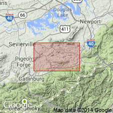
- Areal extent
- Overview
- AAPG geologic province:
-
- Appalachian basin
Summary:
Included in Walden Creek Group of Ocoee Series. Mapped in Blue Ridge belt northwest of Greenbrier-Devils Fork belt, southwest of Pigeon River, in Blount and Sevier Cos., eastern TN. Consists of alternating units of greenish or bluish shale, slate, or phyllite, and medium-bedded, medium- to fine-grained sandstone and conglomerate in upper part. Age is late Precambrian.
Source: GNU records (USGS DDS-6; Reston GNULEX).
- Usage in publication:
-
- Licklog Formation
- Modifications:
-
- Overview
- AAPG geologic province:
-
- Piedmont-Blue Ridge province
Summary:
In Blue Ridge belt, Late Proterozoic Walden Creek Group of Ocoee Supergroup is mapped as undivided except for Sandsuck Formation, which is separately mapped.
Source: GNU records (USGS DDS-6; Reston GNULEX).
- Usage in publication:
-
- Licklog Formation
- Modifications:
-
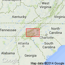
- Areal extent
- AAPG geologic province:
-
- Piedmont-Blue Ridge province
Summary:
Licklog Formation of Walden Creek Group shown in column 5, western NC. Thickness estimated at 450 m.
Source: GNU records (USGS DDS-6; Reston GNULEX).
For more information, please contact Nancy Stamm, Geologic Names Committee Secretary.
Asterisk (*) indicates published by U.S. Geological Survey authors.
"No current usage" (†) implies that a name has been abandoned or has fallen into disuse. Former usage and, if known, replacement name given in parentheses ( ).
Slash (/) indicates name conflicts with nomenclatural guidelines (CSN, 1933; ACSN, 1961, 1970; NACSN, 1983, 2005, 2021). May be explained within brackets ([ ]).