The National Geologic Map Database is migrating to a new infrastructure. We apologize for any service disruptions during this process.
|
|---|


- Usage in publication:
-
- Liberty beds
- Modifications:
-
- Named
- Dominant lithology:
-
- Limestone
- AAPG geologic province:
-
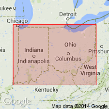
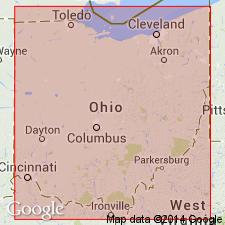
- Cincinnati arch
Summary:
Liberty or STROPHOMENA PLANUMBONA beds described as even-bedded limestones in layers averaging 3 in. in thickness, prevailingly blue in color, with intervening clayey and shaly layers, also usually of blue color. Thickness 35 ft. Overlain by Whitewater or HOMOTRYPA WORTHENI beds and underlain by Waynesville or BYTHOPORA MEEKI beds. Assigned to Richmond group.
Source: GNU records (USGS DDS-6; Reston GNULEX).
- Usage in publication:
-
- Liberty Formation
- Modifications:
-
- Revised
- AAPG geologic province:
-
- Cincinnati arch
Summary:
The Geological Survey of Ohio recognizes the Cincinnati Group proposed by Meek and Worthen (1865), but at this time retains it as an informal term. The unit will be formally reinstated as a lithostratigraphic term after revision of its lower boundary and minor lithologic redescription of its units are completed. The ten formations included in the group are the (ascending) Clays Ferry Formation, the Kope Formation, the Fairview Formation, the Miamitown Shale, the Grant Lake Limestone, the Arnheim Formation, the Waynesville Formation, the Liberty Formation, the Whitewater Formation, and the Drakes Formation. Six members have been identified in the course of field mapping: the Point Pleasant Tongue of the Clays Ferry, the informal Bellevue, Corryville, Mount Auburn, and Straight Creek members of the Grant Lake Limestone, and the Preachersville Member of the Drakes Formation. The Backbone Creek and Elk Creek beds are recognized as excellent stratigraphic marker beds.
Source: GNU records (USGS DDS-6; Reston GNULEX).
For more information, please contact Nancy Stamm, Geologic Names Committee Secretary.
Asterisk (*) indicates published by U.S. Geological Survey authors.
"No current usage" (†) implies that a name has been abandoned or has fallen into disuse. Former usage and, if known, replacement name given in parentheses ( ).
Slash (/) indicates name conflicts with nomenclatural guidelines (CSN, 1933; ACSN, 1961, 1970; NACSN, 1983, 2005, 2021). May be explained within brackets ([ ]).