- Usage in publication:
-
- Leigh dolomite member*
- Modifications:
-
- Named
- Dominant lithology:
-
- Dolomite
- AAPG geologic province:
-
- Green River basin
Summary:
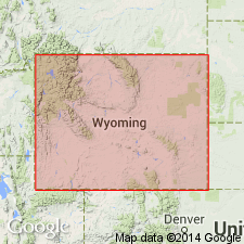
Named as the upper member of the Bighorn dolomite. Is a thin, persistent unit above the massive part of the Bighorn that can be recognized in WY from the Teton Range, Yellowstone province east to the Wind River Mountains, Greater Green River basin, north to the Absaroka Range, Bighorn basin. Ranges from 30 to 40 ft thick. Source of name and type locality not designated. "Typical" section measured on west slope of Dinwoody Canyon, on north side of Wind River Range where 28.1 ft of Leigh is present disconformably above the more massive part of the Bighorn and disconformably below the Darby formation (new). Is characterized in measured section by thin, dense, brittle flaggy rocks with smooth milk-white surfaces. The dolomite is pale gray to lavender gray, thin to finely laminated. Some beds are streaked and spotted. One thin bed of pink and maroon, finely laminated shale. Fauna (ostracods, pelecypods, gastropods) found at several localities of Richmond or late Ordovician age.
Source: GNU records (USGS DDS-6; Denver GNULEX).

- Usage in publication:
-
- Leigh Member
- Modifications:
-
- Overview
- AAPG geologic province:
-
- Yellowstone province
Summary:
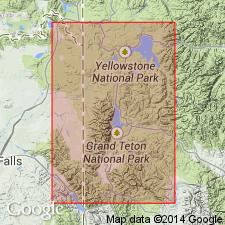
Is the upper member of Bighorn Dolomite unconformably above lower part of Bighorn and unconformably below Darby Formation. Section 36.8 ft thick measured on the Badger-North Leigh Canyon divide on west side, Teton Range, Teton Co, WY in the Yellowstone province. Consists of gray dolomite that weathers light gray to white, is fine grained, vugular with ripply striations. Upper 27 ft varies from sublithographic to lithographic, is very fractured, and has occasional calcite crystals. Measured section proposed as "type, or at least reference section". Horn corals, large pelecypods, poorly preserved brachiopods. Ordovician age.
Source: GNU records (USGS DDS-6; Denver GNULEX).

- Usage in publication:
-
- Leigh Dolomite Member*
- Modifications:
-
- Overview
- AAPG geologic province:
-
- Wind River basin
Summary:
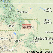
Bighorn Dolomite forms cliffs. Bighorn divisible into basal sandstone, the Lander Sandstone Member; middle massive dolomite; and an upper thin-bedded dolomite, the Leigh Dolomite Member. The Lander occurs locally along the east flank of the Wind River Range where it is a lenticular gray to tan, partly red, fine- to coarse-grained sandstone less than 5 ft thick. Fragments of the unconformably underlying Gallatin Limestone are commonly incorporated in the lower part of the Lander. The middle member is uniform, resistant, cliff-forming, buff to gray granular dolomite 230 ft thick in central and northern Wind River Range to 15 in southern part of basin, that has rough pitted surface. The Leigh is a white, gray, pink, thin-bedded to platy dolomite 85 ft thick in northwest end of Wind River Range; thins south owing to erosional unconformity at top at contact with Darby Formation. Formation is fossiliferous: poorly preserved corals, mollusks, crinoids. Most of Bighorn considered Late Ordovician but Lander may be Middle Ordovician. Lander is a transgressive marine deposit whose source is not known. The main body of the Bighorn was deposited in a warm shallow sea. Cross sections. Isopach map shows extent of Bighorn in Wind River basin and adjacent Sublette Co, Greater Green River basin, and Hot Springs and Washakie Cos, Bighorn basin.
Source: GNU records (USGS DDS-6; Denver GNULEX).
For more information, please contact Nancy Stamm, Geologic Names Committee Secretary.
Asterisk (*) indicates published by U.S. Geological Survey authors.
"No current usage" (†) implies that a name has been abandoned or has fallen into disuse. Former usage and, if known, replacement name given in parentheses ( ).
Slash (/) indicates name conflicts with nomenclatural guidelines (CSN, 1933; ACSN, 1961, 1970; NACSN, 1983, 2005, 2021). May be explained within brackets ([ ]).

