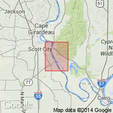
- Usage in publication:
-
- Leemon Formation*
- Modifications:
-
- Overview
- Age modified
- AAPG geologic province:
-
- Illinois basin
Summary:
Leemon Formation mapped undivided with Girardeau Limestone in IL. Consists of coarse-grained oolitic limestone, green shale, and conglomerate. Conglomerate contains rounded clasts of Girardeau Limestone. Crops out only along east bank of Mississippi River just north of Thebes, IL. Age refined to Cincinnatian.
Source: GNU records (USGS DDS-6; Reston GNULEX).
For more information, please contact Nancy Stamm, Geologic Names Committee Secretary.
Asterisk (*) indicates published by U.S. Geological Survey authors.
"No current usage" (†) implies that a name has been abandoned or has fallen into disuse. Former usage and, if known, replacement name given in parentheses ( ).
Slash (/) indicates name conflicts with nomenclatural guidelines (CSN, 1933; ACSN, 1961, 1970; NACSN, 1983, 2005, 2021). May be explained within brackets ([ ]).

