- Usage in publication:
-
- La Pasada Formation
- Modifications:
-
- Named
- Dominant lithology:
-
- Mudstone
- Siltstone
- Sandstone
- Conglomerate
- Limestone
- Shale
- AAPG geologic province:
-
- Many basins
Summary:
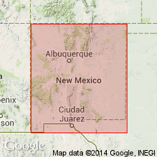
Named for Upper La Pasada, old Spanish settlement at foot of Dalton Bluff; type locality designated as Dalton Bluff, west side of Pecos Valley overlooking Dalton Campground, 6.6 mi north of junction of State Hwy 63 and Alt. U.S. Hwy 84-85 at Pecos, San Miguel Co, NM where is 973 ft thick (increases to north). Underlies Alamitos Formation (new); unconformably overlies Mississippian rocks. Is approximate southern equivalent of Flechado Formation (new); north of Jicarilla Ridge abrupt facies change occurs, and rock becomes dominantly clastic and increases in thickness. Present in much of southernmost Sangre de Cristo Mountains (Estancia, Las Vegas-Raton, and Palo Duro basins). Is a cyclic carbonate-rock unit including many rock types (no lithologic basis for subdivision found). Contains mudstones, siltstones, sandstones, conglomerates, limestones, and shales. Lower half of unit at type locality is mostly a shallow marine near-shore sequence with less common nonmarine intervals. Local thin coal beds. Upper half of unit at type locality was deposited under neritic, off-shore, marine conditions alternating with infrequent near-shore and nonmarine intervals. Striking lateral facies changes in lower part; demonstrates the difficulty in separating basal, more clastic sequence (i.e., Sandia Formation, not used in this report). Age range from Morrowan (Early Pennsylvanian) through middle Desmoinesian (Middle Pennsylvanian) based on fossils.
Source: GNU records (USGS DDS-6; Denver GNULEX).

- Usage in publication:
-
- La Pasada Formation*
- Modifications:
-
- Contact revised
- AAPG geologic province:
-
- Palo Duro basin
- Las Vegas-Raton basin
Summary:
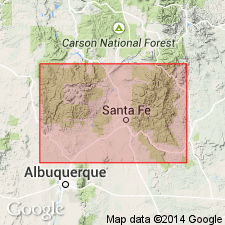
La Pasada Formation revised--lower contact changed. Overlies with an erosional unconformity the Chesterian (Late Mississippian) Cowles Member of Tererro Formation (revised, age modified) of Arroyo Penasco Group (rank raised to group in this report) in southwestern part of report area, north-central NM. La Pasada is present in sections measured at: Coco City (Mora Co, Las Vegas-Raton basin); Jack's Creek (San Miguel Co, Palo Duro basin); and Tererro and Pecos River Canyon (San Miguel Co, Palo Duro basin)--all of these sections are in southernmost Sangre de Cristo Mountains. In sections to north Flechado Formation--the northern equivalent of Flechado--is present above Cowles Member of Tererro. Neither Flechado nor La Pasada extends west of the Sangre de Cristo Mountains. Is of Morrowan to Desmoinesian (Early to Middle Pennsylvanian) age. Correlation chart, measured sections.
Source: GNU records (USGS DDS-6; Denver GNULEX).
For more information, please contact Nancy Stamm, Geologic Names Committee Secretary.
Asterisk (*) indicates published by U.S. Geological Survey authors.
"No current usage" (†) implies that a name has been abandoned or has fallen into disuse. Former usage and, if known, replacement name given in parentheses ( ).
Slash (/) indicates name conflicts with nomenclatural guidelines (CSN, 1933; ACSN, 1961, 1970; NACSN, 1983, 2005, 2021). May be explained within brackets ([ ]).

