

- Usage in publication:
-
- Knapp beds, formation
- Modifications:
-
- Named
- Dominant lithology:
-
- Conglomerate
- Shale
- AAPG geologic province:
-
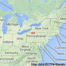
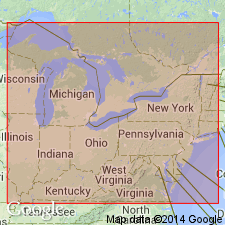
- Appalachian basin
Summary:
Two thin conglomerates interbedded with Oswayo-like shales in Salamanca quad., southwestern NY, are here referred to as Knapp beds. Beds thicken and coarsen westward and are differentiated as Knapp formation. Easternmost exposure at Knapp's Creek Station in Cattaraugus Co. is composed of a basal conglomerate (10 to 20 ft), shale (30 to 40 ft), conglomerate (10 to 15 ft), and upper shale (25 to 30 ft). Beds overlie Oswayo and underlie Olean conglomerate. Assigned to Carbonic.
Source: GNU records (USGS DDS-6; Reston GNULEX).
- Usage in publication:
-
- Knapp Formation
- Modifications:
-
- Overview
- AAPG geologic province:
-
- Appalachian basin
Summary:
Knapp in Warren Co. consists of interbedded extraformational conglomerate, pebbly sandstone, sandstone, some siltstone, and shale. conglomerates and conglomeratic sandstones are light gray and commonly ferruginous. Present in the eastern two-thirds of the study area where its maximum thickness is 140 ft. Thins westward and grades laterally to a finer grained, unnamed, marine mixed-clastic sequence, which has been misidentified in earlier reports as the Cussewago Sandstone. Overlies Oswayo Formation in eastern part of study area and Riceville Formation in the west. Underlies Cuyahoga Formation in the east and Corry Sandstone to the west. Placement of the Late Devonian-Early Mississippian boundary is still uncertain. In this report, Corry-Knapp interval is considered Late Devonian or Early Mississippian.
Source: GNU records (USGS DDS-6; Reston GNULEX).
- Usage in publication:
-
- Knapp Formation
- Modifications:
-
- Age modified
- AAPG geologic province:
-
- Appalachian basin
Summary:
Boundary between the rocks of the Mississippian and Devonian periods in PA was changed in 1992 because of a growing list of paleontological evidence. The Berea, Corry, and Knapp are now considered Late Devonian by the Pennsylvania Geological Survey.
Source: GNU records (USGS DDS-6; Reston GNULEX).
For more information, please contact Nancy Stamm, Geologic Names Committee Secretary.
Asterisk (*) indicates published by U.S. Geological Survey authors.
"No current usage" (†) implies that a name has been abandoned or has fallen into disuse. Former usage and, if known, replacement name given in parentheses ( ).
Slash (/) indicates name conflicts with nomenclatural guidelines (CSN, 1933; ACSN, 1961, 1970; NACSN, 1983, 2005, 2021). May be explained within brackets ([ ]).