- Usage in publication:
-
- Kittanning sandstone and shale, shale and ore, fire clay, group*
- Modifications:
-
- Named
- Dominant lithology:
-
- Sandstone
- Shale
- Fire clay
- AAPG geologic province:
-
- Appalachian basin
Summary:
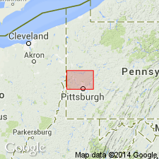
In this report, White applies the name Kittanning to several lithologies. In Beaver Co., Kittanning (Industry) sandstone and shale is 42 to 50 ft thick. At Industry, on Ohio River, it is 50 ft thick and forms massive vertical cliff. Underlies Kittanning fire clay and lies 30 ft above Vanport limestone. Kittanning (New Brighton) fire clay underlies Kittanning group. Kittanning group is a coal group that extends from top of Upper Kittanning coal to top of Buhrstone iron ore overlying Ferriferous (Vanport) limestone. Kittanning (Ferriferous) shale and ore consists of dark sandy shales with nodular iron ore, 35-40 ft thick, that overlies Lower Kittanning coal (may represent Johnstown cement bed).
Source: GNU records (USGS DDS-6; Reston GNULEX).
- Usage in publication:
-
- Kittanning shale*
- Modifications:
-
- Revised
- AAPG geologic province:
-
- Appalachian basin
Summary:
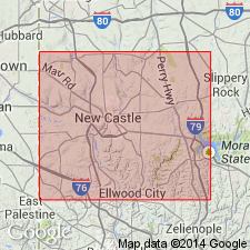
Kittanning shale consists of sandy shales, 35 to 50 ft thick. Overlies Middle Kittanning coal and underlies Darlington (Upper Kittanning) coal. Seldom exposed in Lawrence Co.
Source: GNU records (USGS DDS-6; Reston GNULEX).
- Usage in publication:
-
- Kittanning sandstone
- Modifications:
-
- Revised
- AAPG geologic province:
-
- Appalachian basin
Summary:
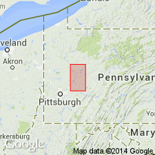
Kittanning sandstone consists of coarse-grained to pebbly sandstone, 25-40 ft thick. Underlies Middle Kittanning coal and lies above Lower Kittanning coal. Exposed in small ravine between village of Worthington and Buffalo Mills, and extends to western edge of Worthington (town was built upon it). [Probably was not meant to be same Kittanning as defined by White, 1878; its position as defined here would make it younger.]
Source: GNU records (USGS DDS-6; Reston GNULEX).
- Usage in publication:
-
- Kittanning sandstone*
- Modifications:
-
- Revised
- AAPG geologic province:
-
- Appalachian basin
Summary:
Kittanning sandstone is separated from overlying Lower Kittanning coal by Kittanning fire clay. Thickness is 0 to 15 ft.
Source: GNU records (USGS DDS-6; Reston GNULEX).
- Usage in publication:
-
- Kittanning formation
- Modifications:
-
- Revised
- AAPG geologic province:
-
- Appalachian basin
Summary:
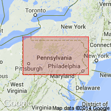
Allegheny group includes (ascending) Clarion, Kittanning, and Freeport formations. Kittanning formation extends from top of Upper Kittanning coal to base of clay under Lower Kittanning coal.
Source: GNU records (USGS DDS-6; Reston GNULEX).
- Usage in publication:
-
- Kittanning formation
- Modifications:
-
- Revised
- AAPG geologic province:
-
- Appalachian basin
Summary:
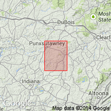
Kittanning formation includes beds from top of Upper Kittanning coal to top of Vanport limestone.
Source: GNU records (USGS DDS-6; Reston GNULEX).
- Usage in publication:
-
- Kittanning sandstone
- Modifications:
-
- Revised
- AAPG geologic province:
-
- Appalachian basin
Summary:
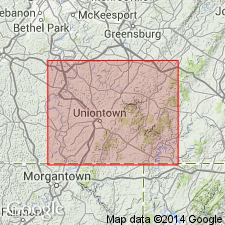
In standard section for southwestern PA, both Kittanning and Clarion sandstones of Allegheny group lie between Lower Kittanning and Clarion coals. Because the sandstones are normally separated by Vanport limestone, which is absent in Fayette Co., it is difficult to determine whether sandstone lying below Lower Kittanning coal is Kittanning or Clarion sandstone; because sandstone commonly occurs in upper part of interval, it is here called Kittanning. Average thickness is about 10 ft.
Source: GNU records (USGS DDS-6; Reston GNULEX).
- Usage in publication:
-
- Kittanning formation
- Modifications:
-
- Revised
- AAPG geologic province:
-
- Appalachian basin
Summary:
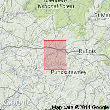
Kittanning formation of Allegheny group includes (ascending) Lower Kittanning clay, Lower Kittanning coal, Middle Kittanning coal, Upper Kittanning sandstone, and Upper Kittanning coal. Overlies Clarion formation (with Lower Kittanning sandstone at its top); underlies Freeport formation.
Source: GNU records (USGS DDS-6; Reston GNULEX).
- Usage in publication:
-
- Kittanning formation
- Modifications:
-
- Revised
- AAPG geologic province:
-
- Appalachian basin
Summary:
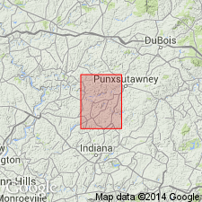
In Smicksburg quad, includes (ascending) Lower Kittanning clay, Lower Kittanning coal, Middle Kittanning coal, Upper Kittanning sandstone, and Upper Kittanning coal. Underlies Freeport formation. Part of Allegheny group in Pittsburgh series.
Source: GNU records (USGS DDS-6; Reston GNULEX).
- Usage in publication:
-
- Kittanning formation
- Modifications:
-
- Revised
- AAPG geologic province:
-
- Appalachian basin
Summary:
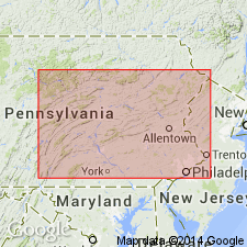
Kittanning formation includes Lower, Middle, and Upper Kittanning coals [no use of Lower Kittanning clay or Upper Kittanning sandstone].
Source: GNU records (USGS DDS-6; Reston GNULEX).
- Usage in publication:
-
- Kittanning Formation*
- Modifications:
-
- Revised
- AAPG geologic province:
-
- Appalachian basin
Summary:
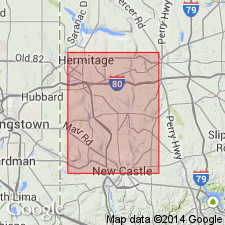
Kittanning Formation of Allegheny Group subdivided into three informal members (lower, middle, and upper). Upper Kittanning clay abandoned. Age is Pennsylvanian.
Source: GNU records (USGS DDS-6; Reston GNULEX).
- Usage in publication:
-
- Kittanning Formation
- Modifications:
-
- Overview
- Age modified
- AAPG geologic province:
-
- Appalachian basin
Summary:
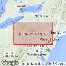
Used as Kittanning Formation of Allegheny Group. [First use of age as Late Pennsylvanian.]
Source: GNU records (USGS DDS-6; Reston GNULEX).
- Usage in publication:
-
- Kittanning Formation*
- Modifications:
-
- Overview
- AAPG geologic province:
-
- Appalachian basin
Summary:
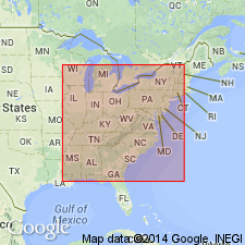
Kittanning Formation is present only in PA and is middle formation of Allegheny Group. Extends from base of underclay below upper coal of Lower Kittanning coal zone to top of lower bench of Upper Kittanning coal zone.
Source: GNU records (USGS DDS-6; Reston GNULEX).
For more information, please contact Nancy Stamm, Geologic Names Committee Secretary.
Asterisk (*) indicates published by U.S. Geological Survey authors.
"No current usage" (†) implies that a name has been abandoned or has fallen into disuse. Former usage and, if known, replacement name given in parentheses ( ).
Slash (/) indicates name conflicts with nomenclatural guidelines (CSN, 1933; ACSN, 1961, 1970; NACSN, 1983, 2005, 2021). May be explained within brackets ([ ]).

