- Usage in publication:
-
- Kisinger Sandstone
- Modifications:
-
- Original reference
- Dominant lithology:
-
- Sandstone
- Chert
- AAPG geologic province:
-
- Bend arch
Summary:
Pg. 18-24. Kisinger Sandstone of Graham Group. Massive, cross-bedded sandstone with white or gray chert. Thickness 0 to 150 feet. Interpreted to be a river bed deposit. Disconformably overlies Ranger Limestone or Colony Shale. Occurs below Salem School Limestone. Present locally in southeastern Young County at stratigraphic position of Home Creek Limestone and underlying Colony Creek Shale. Age is Late Pennsylvanian (early Virgilian).
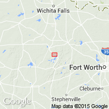
Type locality: outcrops along Brazos River, between Herron Bend and Long Bend, southeastern Young Co., northern central TX, [in vicinity of Lat. 32 deg. 59 min. 30 sec. N., Long. 98 deg. 30 min. 30 sec. W.].
Source: Publication; US geologic names lexicon (USGS Bull. 1520, p. 167).

- Usage in publication:
-
- Kisinger Sandstone [unranked]
- Modifications:
-
- Mapped
- AAPG geologic province:
-
- Bend arch
Summary:
Kisinger Sandstone [unranked] in Canyon Group. Brown, fine- to medium-grained, massive, cross-bedded, conglomeratic sandstone with cross-bedded chert-pebble conglomerate near base and fissile plant-rich shale at top. Thickness up to 140 feet. Represents local channel-fill body cutting through Home Creek, most of Colony Creek Shale, and possibly top of Ranger Limestone. Age is Late Pennsylvanian (Missouri).
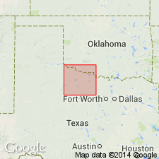
Geographically restricted to southeastern Young Co., central northern TX.
Source: Publication.
For more information, please contact Nancy Stamm, Geologic Names Committee Secretary.
Asterisk (*) indicates published by U.S. Geological Survey authors.
"No current usage" (†) implies that a name has been abandoned or has fallen into disuse. Former usage and, if known, replacement name given in parentheses ( ).
Slash (/) indicates name conflicts with nomenclatural guidelines (CSN, 1933; ACSN, 1961, 1970; NACSN, 1983, 2005, 2021). May be explained within brackets ([ ]).

