- Usage in publication:
-
- Kilbeck granite gneiss
- Modifications:
-
- Named
- Dominant lithology:
-
- Gneiss
- AAPG geologic province:
-
- Mojave basin
Summary:
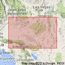
Named [presumably for Kilbeck Hills located 5 mi east of Old Woman Mountains in southeast part of Cadiz Lake 15' quad, San Bernardino Co, CA.] [no type designated] Also referred to as Kilbeck gneiss. Occurs in extreme southern part of Old Woman Mountains. Consists of "granite gneiss". Stated as being "in contact with the lower member of the Essex Series". Age is referred to as Archean.
Source: GNU records (USGS DDS-6; Menlo GNULEX).

- Usage in publication:
-
- Kilbeck Gneiss*
- Modifications:
-
- Principal reference
- Age modified
- AAPG geologic province:
-
- Mojave basin
Summary:
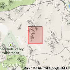
Kilbeck Granite Gneiss of Hazzard and Dosch (1937) is adopted as Kilbeck Gneiss. Principal reference locality is designated as E/2 sec.17 T3N R11E (Ironwood Wash area), Milligan 15' quad (on west side of [southern] Old Woman Mountains, San Bernardino Co, CA. Consists mainly of medium-grained biotite monzogranite and granodiorite gneiss characterized by wispy, irregular, contorted, gneissic foliation defined by alternating dark mafic and white, quartzo-feldspathic stripes. More mafic and less metamorphosed, porphyritic rocks east of Sheep Camp Spring and at northern boundary of quad are here provisionally included within unit; these rocks consist of granodiorite, tonalite, monzogranite, quartz diorite, and diorite. Unit appears to stratigraphically underlie infolded metamorphosed Tapeats Sandstone, so a Proterozoic protolith age is inferred. The gneissic structure is inferred to be a product of metamorphism and deformation occurring during Late Cretaceous (Miller and others, 1982).
Source: GNU records (USGS DDS-6; Menlo GNULEX).

- Usage in publication:
-
- Kilbeck Gneiss*
- Modifications:
-
- Age modified
- Geochronologic dating
Summary:
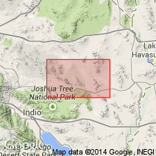
Age (protolith) of the Kilbeck Gneiss is revised from Proterozoic to: Early Proterozoic based on isotopic (U-Pb, zircon) dating.
Source: GNU records (USGS DDS-6; Menlo GNULEX).
For more information, please contact Nancy Stamm, Geologic Names Committee Secretary.
Asterisk (*) indicates published by U.S. Geological Survey authors.
"No current usage" (†) implies that a name has been abandoned or has fallen into disuse. Former usage and, if known, replacement name given in parentheses ( ).
Slash (/) indicates name conflicts with nomenclatural guidelines (CSN, 1933; ACSN, 1961, 1970; NACSN, 1983, 2005, 2021). May be explained within brackets ([ ]).

