- Usage in publication:
-
- Kenwood sandstone
- Modifications:
-
- Named
- Dominant lithology:
-
- Sandstone
- Shale
- AAPG geologic province:
-
- Cincinnati arch
Summary:
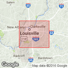
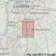
Named Kenwood sandstone for Kenwood Hill near Louisville, Jefferson Co., KY. Consists of 40 ft of thin sandstones alternating with shale. Contains Keokuk fossils. Underlies Rosewood shale and overlies New Providence shale; all belong to Osage group. The Kenwood is of Mississippian age.
Source: GNU records (USGS DDS-6; Reston GNULEX).

- Usage in publication:
-
- Kenwood sandstone member
- Modifications:
-
- Revised
- AAPG geologic province:
-
- Cincinnati arch
Summary:
Rank changed from Kenwood sandstone to Kenwood sandstone member of New Providence formation. Occurs at top of formation.
Source: GNU records (USGS DDS-6; Reston GNULEX).

- Usage in publication:
-
- Kenwood Siltstone Member*
- Modifications:
-
- Revised
- Redescribed
- Dominant lithology:
-
- Siltstone
- AAPG geologic province:
-
- Cincinnati arch
Summary:
Kenwood sandstone of Butts (1915) redefined as Kenwood Siltstone Member of Borden Formation. Occurs within and at top of New Providence Shale Member. Composed of siltstone and clay shale. Thickness ranges from 20 to about 70 ft. Age is Mississippian.
Source: GNU records (USGS DDS-6; Reston GNULEX).

- Usage in publication:
-
- Kenwood Siltstone Member*
- Modifications:
-
- Overview
- AAPG geologic province:
-
- Cincinnati arch
Summary:
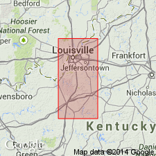
Kenwood Siltstone Member of Borden Formation is a wedge of sediment that thins from 110 ft to zero across a width of 10 mi and that extends for 50 mi along depositional strike from southern Indiana southeastward into north-central Kentucky. Composed of siltstone and interbedded shale. Siltstone was deposited by turbidity currents that flowed towards the southwest down the front of the Borden delta to where it was deposited with the shaly bottomset beds. Kenwood overlies and is intertongued with New Providence Shale Member. Overlain by Nancy Member where not overlain by tongue of New Providence. Age is Mississippian (Osage Series).
Source: GNU records (USGS DDS-6; Reston GNULEX).
For more information, please contact Nancy Stamm, Geologic Names Committee Secretary.
Asterisk (*) indicates published by U.S. Geological Survey authors.
"No current usage" (†) implies that a name has been abandoned or has fallen into disuse. Former usage and, if known, replacement name given in parentheses ( ).
Slash (/) indicates name conflicts with nomenclatural guidelines (CSN, 1933; ACSN, 1961, 1970; NACSN, 1983, 2005, 2021). May be explained within brackets ([ ]).

