The National Geologic Map Database is migrating to a new infrastructure. We apologize for any service disruptions during this process.
|
|---|


- Usage in publication:
-
- Kelley Canyon Formation*
- Modifications:
-
- Named
- Dominant lithology:
-
- Dolomite
- Argillite
- Quartzite
- AAPG geologic province:
-
- Great Basin region
Summary:
Pg. 589-590. Kelley Canyon Formation. Present in Huntsville area, Weber County, northern Utah. Consists of: (1) lower part, a persistent 10-foot-thick, thinly-laminated, tan-weathering, fine-grained dolomite at base, overlain by lavender-gray, purplish-gray or olive-drab shale and siltstone; (2) middle part, a gray to lavender-gray argillite enclosing several lenticular bodies of limestone; (3) upper part, an olive-drab or tan-weathering argillite and thin- to medium-bedded argillite. Total thickness at type section 610 m [approx. 2,000 feet]. Overlies Maple Canyon Formation (new); gradationally underlies Caddy Canyon(?) Quartzite (new) (only tentatively in Huntsville area), lowermost formation of Brigham Group (revised). Age is late Precambrian (Precambrian Z). (Kelley Canyon Formation adopted by the USGS.)
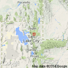
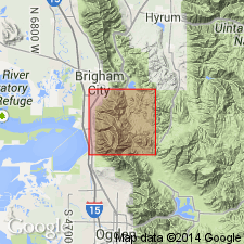
Type section: head of Kelley Canyon, about 2.5 mi (5.5 km) east of Huntsville, in S/2 sec. 3, T. 6 N., R. 2 E., Weber Co., UT (Great Basin region). Named from Kelley Canyon.
[Discrepancy: GNU records (USGS DDS-6; Denver GNULEX) indicate total thickness of formation not stated by authors. US geologic names lexicon (USGS Bull. 1520) indicates total thickness at type section is 610 m. --unresolved.]
Source: US geologic names lexicon (USGS Bull. 1520, p. 163); Changes in stratigraphic nomenclature, 1971 (USGS Bull. 1372-A, p. A10-A11); GNU records (USGS DDS-6; Denver GNULEX, Menlo GNULEX).
- Usage in publication:
-
- Kelley Canyon Formation
- Modifications:
-
- Revised
- AAPG geologic province:
-
- Great Basin region
Summary:
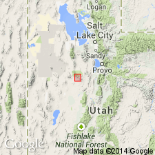
In the Sheeprock Mountains of north-central Utah (Great Basin region), Kelley Canyon Formation assigned to Sheeprock Group (rank raised) as its upper formation. Replaces [part of] "upper Sheeprock" of Cohenour (1959). Consists of olive-drab, tan, gray or green, locally micaceous and laminated shale and siltstone. Includes subordinate gray, green, and tan, very fine- to fine-grained sandstone and quartzite, particularly in upper part. Thickness 155 to 575 m. Overlies Dutch Peak Formation (formerly Dutch Peak Tillite) of Sheeprock Group; underlies Caddy Canyon Quartzite of Brigham Group. Age is Late Proterozoic. Report includes geologic map, stratigraphic sections.
Source: Modified from GNU records (USGS DDS-6; Denver GNULEX).
- Usage in publication:
-
- Kelley Canyon Formation*
- Modifications:
-
- Age modified
- AAPG geologic province:
-
- Wasatch uplift
- Great Basin province
Summary:
Age of the Kelley Canyon Formation is revised from Precambrian Z to Late Proterozoic.
Source: GNU records (USGS DDS-6; Menlo GNULEX).
- Usage in publication:
-
- Kelley Canyon Formation*
- Modifications:
-
- Areal extent
- AAPG geologic province:
-
- Great Basin province
Summary:
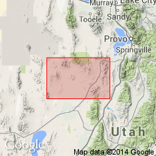
Kelley Canyon Formation is geographically extended into the Sheeprock Mountains, Juab Co., UT. Age is Late Proterozoic.
Source: GNU records (USGS DDS-6; Menlo GNULEX).
For more information, please contact Nancy Stamm, Geologic Names Committee Secretary.
Asterisk (*) indicates published by U.S. Geological Survey authors.
"No current usage" (†) implies that a name has been abandoned or has fallen into disuse. Former usage and, if known, replacement name given in parentheses ( ).
Slash (/) indicates name conflicts with nomenclatural guidelines (CSN, 1933; ACSN, 1961, 1970; NACSN, 1983, 2005, 2021). May be explained within brackets ([ ]).