The National Geologic Map Database is migrating to a new infrastructure. We apologize for any service disruptions during this process.
|
|---|


- Usage in publication:
-
- Kanosh shale
- Modifications:
-
- Named
- Dominant lithology:
-
- Shale
- Limestone
- AAPG geologic province:
-
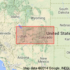
- Great Basin province
Summary:
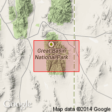
Named as one of six formations of Pogonip group for exposures near village of Kanosh, Millard Co, UT in the Great Basin province. Type locality is Ibex section K in secs 19-30, T22S, R14W. Is made up of olive-gray shale, yellowish-brown siltstone, and medium-gray, thin-bedded calcisiltite. A 77-ft-thick unit of limestone, calcisiltite, and calcarenite at top. Is 550 ft thick at type where it overlies Juab limestone (new) of Pogonip and underlies Lehman formation (new) of Pogonip. Is fossiliferous; assigned to the Ordovician.
Source: GNU records (USGS DDS-6; Denver GNULEX).
- Usage in publication:
-
- Kanosh Shale*
- Modifications:
-
- Adopted
- Areal extent
- AAPG geologic province:
-
- Great Basin province
Summary:
Kanosh Shale of the Pogonip Group of Hintze (1951) is adopted. Consists of yellowish-brown to olive-gray fissile shale containing beds and lenses of limestone. Thickness is 470 ft. Age is Middle Ordovician.
Source: GNU records (USGS DDS-6; Menlo GNULEX).
- Usage in publication:
-
- Kanosh Shale*
- Modifications:
-
- Areal extent
- AAPG geologic province:
-
- Great Basin province
Summary:
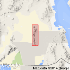
Kanosh Shale is geographically extended into the report area (Newfoundland Mountains). Consists of thinly interbedded reddish-brown calcareous shale (locally phyllitic), siltstone, and silty limestone, with minor medium- to thick-bedded quartzite near top of unit. Base of unit mapped as base of lowest nonresistant brown siltstone bed. Thickness from cross-section is approximately 140 m. Brachiopods and trace fossils are common. Age is Ordovician.
Source: GNU records (USGS DDS-6; Menlo GNULEX).
- Usage in publication:
-
- Kanosh Shale*
- Modifications:
-
- Areal extent
- AAPG geologic province:
-
- Great Basin province
Summary:
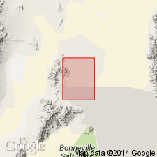
Kanosh Shale of the Pogonip Group is geographically extended into the report area (Crater Island of Silver Island Mountains). Consists of deep-brown siltstone and shale and grayish-brown calcareous siltstone. Thin gray bioclastic limestone interbeds containing abundant ostracods are diagnostic. Where metamorphosed, unit consists of dark-brown hornfels. Thickness is about 85 m. Age is Middle Ordovician.
Source: GNU records (USGS DDS-6; Menlo GNULEX).
- Usage in publication:
-
- Kanosh Shale*
- Modifications:
-
- Areal extent
- AAPG geologic province:
-
- Great Basin province
Summary:
Kanosh Shale is geographically extended into the report area. Age is Ordovician.
Source: GNU records (USGS DDS-6; Menlo GNULEX).
- Usage in publication:
-
- Kanosh Shale*
- Modifications:
-
- Age modified
- Areal extent
- AAPG geologic province:
-
- Great Basin province
Summary:
Kanosh Shale is geographically extended into the report area; age given as Early Ordovician in this area (Silver Zone Basin area): overall age thus revised from Middle Ordovician to: Early and Middle Ordovician [based on regional stratigraphic relations].
Source: GNU records (USGS DDS-6; Menlo GNULEX).
For more information, please contact Nancy Stamm, Geologic Names Committee Secretary.
Asterisk (*) indicates published by U.S. Geological Survey authors.
"No current usage" (†) implies that a name has been abandoned or has fallen into disuse. Former usage and, if known, replacement name given in parentheses ( ).
Slash (/) indicates name conflicts with nomenclatural guidelines (CSN, 1933; ACSN, 1961, 1970; NACSN, 1983, 2005, 2021). May be explained within brackets ([ ]).