- Usage in publication:
-
- Judith River beds*
- Modifications:
-
- Areal extent
- AAPG geologic province:
-
- Sweetgrass arch
- Central Montana uplift
- Williston basin
Summary:
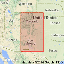
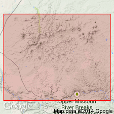
Known in a small basin 20 mi wide and 40 mi long on the Missouri River, probably north boundary of Fergus Co, MT on the Sweetgrass arch, central Montana uplift, and in Williston basin. Is part of the great lignite group. Assigned to the early Tertiary.
Source: GNU records (USGS DDS-6; Denver GNULEX).

- Usage in publication:
-
- Judith River beds*
- Modifications:
-
- Revised
- AAPG geologic province:
-
- Central Montana uplift
Summary:
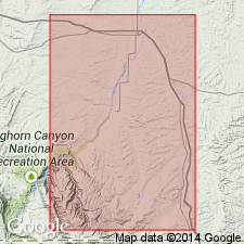
Upper and lower contacts revised. Judith River overlies the newly named Claggett formation and underlies the newly named Bearpaw shales in the area between the mouth of the Judith River in Fergus Co, MT on the Central Montana uplift and the Bearpaw Mountains of Blaine Co, MT in the Williston basin. Considered to be identical to the Belly River beds of CN. Ranges between 500 to 600 ft thick. Late Cretaceous age.
Source: GNU records (USGS DDS-6; Denver GNULEX).

- Usage in publication:
-
- Judith River formation
- Modifications:
-
- Revised
- AAPG geologic province:
-
- Powder River basin
Summary:
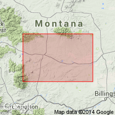
Pg. 12 (fig. 3), 16, 34-36, pls. 1, 2. Judith River formation of Montana group. Geographically extended into study area, Hardin district, Montana-Wyoming, and revised locally to include strata previously assigned to lower part of Bearpaw shale (citing Thom and others, 1935, USGS Bull. 856); authors believe sand content is more typical of Judith River than Bearpaw. As mapped in southern part of Hardin district, Montana-Wyoming, comprises two members: Parkman sandstone and an upper unnamed member. In northern Hardin district, Judith River comprises only Parkman sandstone member (the upper member is indistinguishable from Bearpaw strata). Thickness about 255 feet as exposed east of Hardin, Montana. Overlies Claggett shale member of Cody shale of Montana group; underlies and interfingers with Bearpaw shale (locally restricted) of Montana group. Age is Late Cretaceous. Report includes geologic map, stratigraphic nomenclature chart.
Source: Publication; supplemental information from US geologic names lexicon (USGS Bull. 1200, p. 1946); GNU records (USGS DDS-6; Denver GNULEX).

- Usage in publication:
-
- Judith River Formation
- Modifications:
-
- Overview
- AAPG geologic province:
-
- Central Montana uplift
Summary:
Age of formation is still debatable; it has been considered Campanian based on correlation with ammonite zones; it may straddle the Campanian-Maastrichtian boundary; it is definitely Late Cretaceous. About 3,000 vertebrate fossils have been collected in quarries in Wheatland and Golden Valley Cos, MT, Central Montana uplift. The fauna is diverse, containing specimens of fish, crocodiles, turtles, pterosaurs, dinosaurs, mammals (multituberculate and marsupial). Is underlain by the marine Claggett Formation and overlain by the marine Bearpaw Formation. Grades east into the marine Pierre Shale. Consists of nonmarine fluvial and paludal deposits. These deposits thought to have been laid down on an aggrading coastal plain dominated by fluviatile sedimentation with alluvial fans in the west and the Western Interior seaway to the east. Fossil fish taxa increase in number to east.
Source: GNU records (USGS DDS-6; Denver GNULEX).
For more information, please contact Nancy Stamm, Geologic Names Committee Secretary.
Asterisk (*) indicates published by U.S. Geological Survey authors.
"No current usage" (†) implies that a name has been abandoned or has fallen into disuse. Former usage and, if known, replacement name given in parentheses ( ).
Slash (/) indicates name conflicts with nomenclatural guidelines (CSN, 1933; ACSN, 1961, 1970; NACSN, 1983, 2005, 2021). May be explained within brackets ([ ]).

