- Usage in publication:
-
- Judd shale member
- Modifications:
-
- First used
- Dominant lithology:
-
- Shale
- AAPG geologic province:
-
- Central Western Overthrust
Summary:
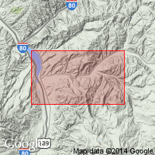
First published use as a member (one of ten) of Frontier formation. Probably named for Judd Canyon 6 mi east of Coalville, Summit Co, UT on the Uinta uplift. No type locality designated. Composed of 690 to 760 ft of gray marine shale. Apparently thins to west. Is not identified at Echo Reservoir north of Coalville. Overlies Grass Creek member (new) of Frontier. Underlies Upton sandstone member (new) of Frontier. Cross sections. Correlation chart. Of early Niobrara, late Coniacian, or Late Cretaceous age.
Source: GNU records (USGS DDS-6; Denver GNULEX).
For more information, please contact Nancy Stamm, Geologic Names Committee Secretary.
Asterisk (*) indicates published by U.S. Geological Survey authors.
"No current usage" (†) implies that a name has been abandoned or has fallen into disuse. Former usage and, if known, replacement name given in parentheses ( ).
Slash (/) indicates name conflicts with nomenclatural guidelines (CSN, 1933; ACSN, 1961, 1970; NACSN, 1983, 2005, 2021). May be explained within brackets ([ ]).

