

- Usage in publication:
-
- Johnstown cement limestone
- Modifications:
-
- Named
- Dominant lithology:
-
- Limestone
- AAPG geologic province:
-
- Appalachian basin
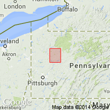
Summary:
Johnstown cement limestone of Allegheny formation is separated from overlying Kittanning Upper coal by 0 to 4 ft of fire clay and shale and from underlying Kittanning Middle coal by 40 to 50 ft of shaly beds.
Source: GNU records (USGS DDS-6; Reston GNULEX).
- Usage in publication:
-
- Johnstown limestone
- Modifications:
-
- Revised
- AAPG geologic province:
-
- Appalachian basin
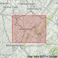
Summary:
Johnstown included in Kittanning subdivision of Allegheny group. Thickness as much as 10 ft. Separated from overlying Freeport sandstone by Upper Kittanning coal; overlies Upper Westernport sandstone.
Source: GNU records (USGS DDS-6; Reston GNULEX).

- Usage in publication:
-
- Johnstown limestone
- Modifications:
-
- Overview
- AAPG geologic province:
-
- Appalachian basin
Summary:
Johnstown is unranked nonmarine limestone within Allegheny Formation between Upper and Middle Kittanning coals or within Kittanning Formation as described by Flint (1965).
Source: GNU records (USGS DDS-6; Reston GNULEX).
For more information, please contact Nancy Stamm, Geologic Names Committee Secretary.
Asterisk (*) indicates published by U.S. Geological Survey authors.
"No current usage" (†) implies that a name has been abandoned or has fallen into disuse. Former usage and, if known, replacement name given in parentheses ( ).
Slash (/) indicates name conflicts with nomenclatural guidelines (CSN, 1933; ACSN, 1961, 1970; NACSN, 1983, 2005, 2021). May be explained within brackets ([ ]).