- Usage in publication:
-
- Jim Pond Formation*
- Modifications:
-
- Named
- Dominant lithology:
-
- Volcanics
- Greenstone
- Graywacke
- AAPG geologic province:
-
- New England province
Summary:
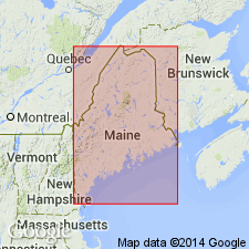
Volcanic and metasedimentary rocks of the ophiolite sequence in central-western Maine are here named the Jim Pond Formation. It consists of a basal chlorite-albite-epidote-actinolite greenstone member with minor metagraywacke, 150 to 500 m thick. Northwest of the Squirtgun fault it is divided into lower and upper units by a metadacite member in the east, 0 to >500 m thick, and a metagraywacke member in the west. The metadacite member is closely associated with hematitic chert iron-formation members. Greenstone is thickly layered with pillowed and massive flows. Patches of altered amphibolite are in contact with the southeastern belt of tonalite of the Boil Mountain Complex. Age is Cambrian(?) and Early Ordovician(?).
Source: GNU records (USGS DDS-6; Reston GNULEX).

- Usage in publication:
-
- Jim Pond Formation*
- Modifications:
-
- Age modified
- AAPG geologic province:
-
- New England province
Summary:
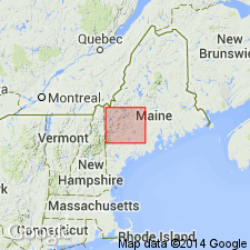
Jim Pond Formation assigned a Cambrian(?) age and mapped as part of the unnamed euxinic melange.
Source: GNU records (USGS DDS-6; Reston GNULEX).

- Usage in publication:
-
- Jim Pond Formation*
- Modifications:
-
- Revised
- Age modified
- Areal extent
- AAPG geologic province:
-
- New England province
Summary:
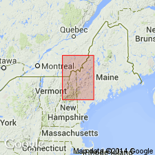
Geographically extended into NH. Small bodies of its unnamed basalt member appear north and northwest of Stub Hill in Second Connecticut Lake 15-min quad, NH. Commonly divisible into basalt member, dacite member, and the Magalloway Member (previously assigned to the Dixville Formation by Green (1968) and Harwood (1973)); however, Magalloway previously mapped at Thrashers Peak, Cupsuptic, 15-min quad, by Harwood (1973) is now mapped as Ironbound Mountain Formation. Age is Cambrian(?) based on tentative U-Pb zircon age of 520 Ma (J.N. Aleinikoff, this report), and on stratigraphic position below Cambrian(?) Hurricane Mountain Formation.
Source: GNU records (USGS DDS-6; Reston GNULEX).

- Usage in publication:
-
- Jim Pond Formation*
- Modifications:
-
- Overview
- AAPG geologic province:
-
- New England province
Summary:
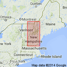
Used as Jim Pond Formation. Age changed from Late Cambrian(?) to Late Cambrian. In northern NH, represented by unnamed pillow metabasalt member occurring as lenses within Hurricane Mountain Formation; lenses are interpreted as tectonic rafts. Report includes geologic map, cross sections, correlation chart, and four 1:500,000-scale derivative maps.
Source: GNU records (USGS DDS-6; Reston GNULEX).
For more information, please contact Nancy Stamm, Geologic Names Committee Secretary.
Asterisk (*) indicates published by U.S. Geological Survey authors.
"No current usage" (†) implies that a name has been abandoned or has fallen into disuse. Former usage and, if known, replacement name given in parentheses ( ).
Slash (/) indicates name conflicts with nomenclatural guidelines (CSN, 1933; ACSN, 1961, 1970; NACSN, 1983, 2005, 2021). May be explained within brackets ([ ]).

