

- Usage in publication:
-
- Jessup Formation
- Modifications:
-
- Named
- Dominant lithology:
-
- Till
- Mudstone
- AAPG geologic province:
-
- Illinois basin
- Cincinnati arch
Summary:
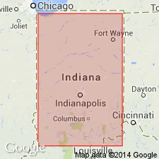
Jessup Formation formally proposed in Indiana. Type section designated in Catlin quad., Parke Co. Reference sections designated: Cutbank exposure along south side of Racoon Creek, 1.5 mi southwest of Mansfield, in center SW1/4 sec. 18, T14N, R6W, Mansfield quad; cutbank exposures along creek 4 mi east of Rockville, in SW1/4SW1/4 sec. 13, T15N, R7W, Catlin quad; cutbank exposure along creek at north edge of Liggett, Vigo Co., in SE1/4SE1/4 sec. 14, T12N, R10W, Terre Haute quad; road cuts along IN State Hwy 45, 1 mi west of Helmsburg, in S1/2SE1/4 sec. 28, T10N, R2E, Morgantown quad. Consists predominantly of conglomeratic mudstone but includes minor amounts of gravel, sand, and silt and thin beds and lenses of peat. In some areas, comprises two members (ascending) Cloverdale Till and Butlerville Till (both new names). Thickness 67 ft at type locality. Formation is surficial unit of Pleistocene in both eastern and western thirds of southern IN. North of Wisconsin glacial boundary overlapped by Trafalgar Formation. Commonly overlies rocks of Paleozoic age. Unit is Kansan and Illinoian.
Source: GNU records (USGS DDS-6; Reston GNULEX).
- Usage in publication:
-
- Jessup Formation
- Modifications:
-
- Revised
- Areal extent
- AAPG geologic province:
-
- Cincinnati arch
- Illinois basin
Summary:
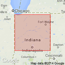
Wilshire Till, Brookston Till, and Blackford Members of Jessup Formation all newly defined. Blackford also assigned to Banner Formation in western IN. Hillery Till Member of the Banner Formation here reassigned to the Jessup. Mahomet Member here assigned to both the Banner and the Jessup. Unit also includes "Butlerville" Till Member, as the youngest member, though it is not necessarily correlative with Wayne's type Butlerville of eastern IN. Jessup Formation and its Blackford Member shown in cross section to extend well into OH. Age of the Jessup is pre-Illinoian and Illinoian. Underlies Wisconsinan Trafalgar Formation.
Source: GNU records (USGS DDS-6; Reston GNULEX).
For more information, please contact Nancy Stamm, Geologic Names Committee Secretary.
Asterisk (*) indicates published by U.S. Geological Survey authors.
"No current usage" (†) implies that a name has been abandoned or has fallen into disuse. Former usage and, if known, replacement name given in parentheses ( ).
Slash (/) indicates name conflicts with nomenclatural guidelines (CSN, 1933; ACSN, 1961, 1970; NACSN, 1983, 2005, 2021). May be explained within brackets ([ ]).