- Usage in publication:
-
- Jeffersonville limestone
- Modifications:
-
- Named
- Dominant lithology:
-
- Limestone
- AAPG geologic province:
-
- Cincinnati arch
Summary:
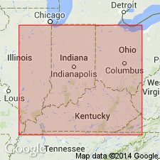
Named Jeffersonville limestone. Composed of limestone. Thickness does not exceed 20 ft in vicinity of Falls of the Ohio. Underlain by Niagaran strata; overlain by Sellersburg beds. Age is Devonian.
Source: GNU records (USGS DDS-6; Reston GNULEX).
- Usage in publication:
-
- Jeffersonville limestone*
- Modifications:
-
- Overview
- AAPG geologic province:
-
- Cincinnati arch
Summary:
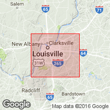
Jeffersonville limestone is coarse grained, dark gray, and thick bedded limestone. Crowded with corals and other fossils. Thickness about 20 ft at Louisville, KY; about 25 ft across Ohio River on Indiana side. Underlain by Louisville limestone; overlain by Sellersburg limestone. Age is Middle Devonian.
Source: GNU records (USGS DDS-6; Reston GNULEX).
- Usage in publication:
-
- Jeffersonville Limestone*
- Modifications:
-
- Age modified
- AAPG geologic province:
-
- Cincinnati arch
Summary:
Basal part of Jeffersonville Limestone judged to be of Schoharie (Formation of New York) age and therefore of Early Devonian age, thereby making the age of the Jeffersonville Early and Middle Devonian instead of only Middle Devonian.
Source: GNU records (USGS DDS-6; Reston GNULEX).
- Usage in publication:
-
- Jeffersonville Limestone*
- Modifications:
-
- Overview
- AAPG geologic province:
-
- Cincinnati arch
Summary:
Jeffersonville Limestone is described as olive, brownish, and medium- to light-gray limestone. Consists of whole and broken fossils in matrix of limy mudstone or sparry calcite. Pyritic, dolomitic in part; prominent stylolites in quarry exposures; scattered banded chert in thin irregular stringers. Thickness is 18-30 ft. Disconformably underlain by Louisville Limestone; unconformably overlain by Sellersburg Limestone. Age is Early and Middle Devonian.
Source: GNU records (USGS DDS-6; Reston GNULEX).
- Usage in publication:
-
- Jeffersonville Limestone
- Modifications:
-
- Overview
- AAPG geologic province:
-
- Illinois basin
Summary:
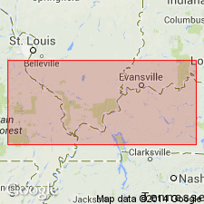
Jeffersonville Limestone in IN and the subsurface of KY includes Dutch Creek Sandstone Member at its base, Geneva Dolomite Member, and Vernon Fork Member. "Tioga" Bentonite Bed present locally at top of unit. (Dutch Creek and Geneva are assigned to the Grand Tower Limestone in IL.) Thickness ranges from 0 to 61 m thick in southwestern IN. Emsian-Eifelian age based on forams and corals.
Source: GNU records (USGS DDS-6; Reston GNULEX).
For more information, please contact Nancy Stamm, Geologic Names Committee Secretary.
Asterisk (*) indicates published by U.S. Geological Survey authors.
"No current usage" (†) implies that a name has been abandoned or has fallen into disuse. Former usage and, if known, replacement name given in parentheses ( ).
Slash (/) indicates name conflicts with nomenclatural guidelines (CSN, 1933; ACSN, 1961, 1970; NACSN, 1983, 2005, 2021). May be explained within brackets ([ ]).

