The National Geologic Map Database is migrating to a new infrastructure. We apologize for any service disruptions during this process.
|
|---|


- Usage in publication:
-
- Jarbidge rhyolite*
- Modifications:
-
- [First used]
- Dominant lithology:
-
- Rhyolite
- AAPG geologic province:
-
- Great Basin province
Summary:
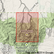
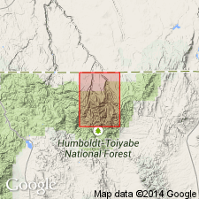
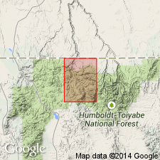
Pg. 305-306. Jarbidge rhyolite. Quartz-rich rhyolitic rocks. Thickness at least 2,000 feet; unit sliced into number of fault blocks and reliable stratigraphic markers not recognized within it; hence total thickness difficult to determine. Overlies [Dead Horse tuff] (new). In northeastern quarter of quadrangle, disconformably underlies Gods Pocket dacite (new); locally 30 to 50 feet of pale-gray vitric tuff separates the units. Named from occurrence in Jarbidge quadrangle, Elko Co., northeastern NV. Jarbidge Rhyolite adopted by the USGS.
USGS currently [ca. 1966] considers the Jarbidge Rhyolite to be late Miocene(?) in age.
Source: US geologic names lexicon (USGS Bull. 1200, p. 1912).
- Usage in publication:
-
- Jarbidge rhyolite
- Modifications:
-
- Areal extent
- Revised
- Geochronologic dating
- AAPG geologic province:
-
- Great Basin province
Summary:
Jarbidge rhyolite. Exposed on west flank of southern Albion Range, Goose Creek basin area, Cassia County, Idaho. Thickness 1,000 feet. Underlies Beaverdam formation (new) in Idavada volcanics; unconformably overlies Paleozoic rocks. Age is late early Miocene; K-Ar age 16.8 +/-0.5 Ma. Report includes stratigraphic charts.
Source: Modified from GNU records (USGS DDS-6; Denver GNULEX).
- Usage in publication:
-
- Jarbidge rhyolite*
- Modifications:
-
- Named
- Dominant lithology:
-
- Rhyolite
- AAPG geologic province:
-
- Great Basin province
Summary:
Jarbidge rhyolite. Consists of pale bluish- to yellowish-gray rhyolite flows, tuffs, and welded tuffs locally interbedded with coaly material. Characterized by a large proportion of quartz phenocrysts, up to 5 mm in diameter; smaller sanidine crystals are common; oligoclase-andesine crystals are rare; pigeonite is very rare; accessory minerals include zircon, apatite, ilmenite, magnetite and garnet. Thickness 2,000+ feet; unit has been faulted into a number of blocks and reliable marker beds have not been found. Conformably overlies Danger Point tuff (new); unconformably underlies Gods Pocket dacite. Equivalent to "older rhyolite" of Schrader (1923, USGS Bull. 741). Age is considered Miocene(?); younger than late Eocene Dead Horse tuff (new) and older than Miocene and Pliocene Cougar Point welded tuff (new). Report includes geologic map. Adopted by the USGS.
Type locality: Jarbidge River Valley, Jarbidge quadrangle, Elko Co., NV. Named from Jarbidge River Valley. Exposed in southern two-thirds of quadrangle.
Source: GNU records (USGS DDS-6; Denver GNULEX).
- Usage in publication:
-
- Jarbidge Rhyolite
- Modifications:
-
- Revised
- AAPG geologic province:
-
- Great Basin province
Summary:
Jarbidge Rhyolite. In Sunflower Flat area, Elko County, Nevada, conformably overlies Bieroth Andesite (new). Contact is gradational. Age is Late Miocene. Report includes geologic map.
Source: Modified from GNU records (USGS DDS-6; Denver GNULEX).
- Usage in publication:
-
- Jarbidge Rhyolite*
- Modifications:
-
- Age modified
- AAPG geologic province:
-
- Great Basin province
Summary:
Assigned middle Miocene age based on other published isotopic age dates on sanidine and adularia (Coats, 1964; Evernden and others, 1964; American Journal of Science, v. 262, p. 194; Silberman, McKee, 1974; Nevada Bureau of Mines and Geology Report 19, p. 70). Study area is within north-central Elko Co, NV, Great Basin province.
Source: GNU records (USGS DDS-6; Denver GNULEX).
For more information, please contact Nancy Stamm, Geologic Names Committee Secretary.
Asterisk (*) indicates published by U.S. Geological Survey authors.
"No current usage" (†) implies that a name has been abandoned or has fallen into disuse. Former usage and, if known, replacement name given in parentheses ( ).
Slash (/) indicates name conflicts with nomenclatural guidelines (CSN, 1933; ACSN, 1961, 1970; NACSN, 1983, 2005, 2021). May be explained within brackets ([ ]).