The National Geologic Map Database is migrating to a new infrastructure. We apologize for any service disruptions during this process.
|
|---|


- Usage in publication:
-
- Interlake Formation*
- Modifications:
-
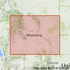
- Areal extent
- Overview
- AAPG geologic province:
-
- Powder River basin
Summary:
Extended from MT southward into Powder River basin, northern WY. Thickness is 8 ft in Shell Oil no. 1 Clear Creek well, NW/4 SE/4 sec 11, T57N, R78W, Sheridan Co, WY and 35 ft in Shell Oil no. 1 Crow Tribal well, NE/4 NE/4 NE/4 sec 36, T9S, R37E, Big Horn Co, MT; both wells are in Powder River basin. These wells are about 40 mi south of previously mapped southern erosional limit of Silurian rocks. Conformably overlies Stony Mountain Formation; unconformably underlies Duperow Formation. Core descriptions. A lenticular unit 3-10 ft thick directly above shale bed at top of Bighorn Dolomite and unconformably below Jefferson Formation at Little Tongue Canyon section, secs 27 and 22, T56N, R87W, Sheridan Co, WY, is tentatively assigned to Interlake. Late Ordovician and Silurian age.
Source: GNU records (USGS DDS-6; Denver GNULEX).
- Usage in publication:
-
- Interlake Group
- Modifications:
-
- Revised
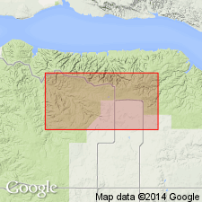
- Areal extent
- AAPG geologic province:
-
- Williston basin
Summary:
Raised to group rank and divided (ascending) into: Strathclair, Fife Lake, Guernsey, Cedar Lake, Grondale (new), Mendenhall (new), Missouri Breaks (new), and Sherven (new) Formations in the central Williston basin subsurface of ND. History of nomenclature chart. Group rank assigned because each formation is "lithologically distinct," and each is a "non-uniform sequence of genetically disparate facies." Overlies Stonewall Formation of Bighorn Group. Underlies Ashern Formation of Elm Point Group. Of Silurian age.
Source: GNU records (USGS DDS-6; Denver GNULEX).
For more information, please contact Nancy Stamm, Geologic Names Committee Secretary.
Asterisk (*) indicates published by U.S. Geological Survey authors.
"No current usage" (†) implies that a name has been abandoned or has fallen into disuse. Former usage and, if known, replacement name given in parentheses ( ).
Slash (/) indicates name conflicts with nomenclatural guidelines (CSN, 1933; ACSN, 1961, 1970; NACSN, 1983, 2005, 2021). May be explained within brackets ([ ]).