The National Geologic Map Database is migrating to a new infrastructure. We apologize for any service disruptions during this process.
|
|---|


- Usage in publication:
-
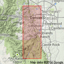
- Idledale Formation
- Modifications:
-
- Named
- Dominant lithology:
-
- Gneiss
- AAPG geologic province:
-
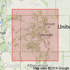
- Southern Rocky Mountain region
Summary:
Named for town of Idledale, Bear Creek Canyon, Morrison quad, Jefferson Co, CO, Southern Rocky Mountain region. No type locality designated. Typical exposures are seen in canyon in sec 33, T4S, R70W. Is a well-banded quartz, feldspar, biotite gneiss. Layers vary in thickness from 1 to 12 cm. Pink to light-red, coarse-grained, quartz plagioclase, biotite pegmatites abundant. Estimated about 2,000 ft thick. Contact between Idledale and Mount Morrison Formation (new) is an igneous discordant contact generally covered and placeable only within about 100 ft. Contact with underlying Turkey Creek Canyon Formation (new) is both conformable and unconformable to foliation; can be placed within about 50 ft. Geologic map. Cross section. Precambrian age.
Source: GNU records (USGS DDS-6; Denver GNULEX).
- Usage in publication:
-
- Idledale Formation
- Modifications:
-
- Overview
- AAPG geologic province:
-
- Southern Rocky Mountain region
Summary:
Is one of several units defined in a narrow belt along east-central Front Range, near Golden, Jefferson Co, CO in the Southern Rocky Mountain region. Of doubtful use elsewhere. Assumed direction of stratigraphic sequence is debatable. Belongs with pre-1,700 m.y. metamorphic complex, or of Precambrian X age.
Source: GNU records (USGS DDS-6; Denver GNULEX).
For more information, please contact Nancy Stamm, Geologic Names Committee Secretary.
Asterisk (*) indicates published by U.S. Geological Survey authors.
"No current usage" (†) implies that a name has been abandoned or has fallen into disuse. Former usage and, if known, replacement name given in parentheses ( ).
Slash (/) indicates name conflicts with nomenclatural guidelines (CSN, 1933; ACSN, 1961, 1970; NACSN, 1983, 2005, 2021). May be explained within brackets ([ ]).