The National Geologic Map Database is migrating to a new infrastructure. We apologize for any service disruptions during this process.
|
|---|


- Usage in publication:
-
- Hyndman formation*
- Modifications:
-
- Named
- Dominant lithology:
-
- Quartzite
- Schist
- AAPG geologic province:
-
- Northern Rocky Mountain region
Summary:
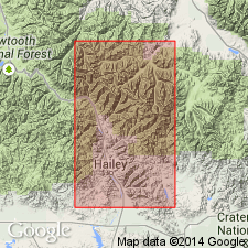
Named for Hyndman Peak, Hailey quad, Blaine Co, ID in the Northern Rocky Mountain region. Forms a belt of outcrops on northeast side of peak, extending into adjoining Custer Co, ID. No type locality designated. Divided into lower quartzite, schist, middle quartzite, green hornfels, and upper quartzite members. Lower quartzite is gray, nearly pure (nine-tenths quartz with hornblende, biotite, sericite, microcline, plagioclase, titanite, and apatite) quartzite to quartzite gneiss, locally banded and laminated, 1,500 ft thick. Schist member is gray, fine grained, evenly bedded, well foliated, 1,100 ft thick. Middle quartzite is white quartzite or quartzitic gneiss that grades downward into dark mica schist 2,400 ft thick. Green hornfels is banded, alternating light and dark layers (some layers several inches thick), contorted, irregular in distribution, and at least 600 ft thick. Upper quartzite is gray to white, well bedded, locally cross-bedded. Considered older than East Fork Formation (new). Geologic maps. Columnar section. Assigned to the Algonkian.
Source: GNU records (USGS DDS-6; Denver GNULEX).
- Usage in publication:
-
- Hyndman Formation*
- Modifications:
-
- Age modified
- AAPG geologic province:
-
- Northern Rocky Mountain region
Summary:
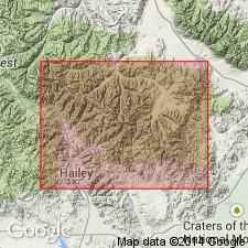
Age changed from Precambrian? to Proterozoic? and Ordovician. Crops out in southeast half of metasedimentary belt, Custer Co, ID in Northern Rocky Mountain region. Divided into members A (base)-D (top). Aggregates at least 5,200 ft thick. Evidence for age: member D underlies member E of East Fork Formation which is correlated with the Middle Ordovician Ella Dolomite; member C is similar in mineral composition and layering to units in the Proterozoic Y Yellowjacket Formation.
Source: GNU records (USGS DDS-6; Denver GNULEX).
For more information, please contact Nancy Stamm, Geologic Names Committee Secretary.
Asterisk (*) indicates published by U.S. Geological Survey authors.
"No current usage" (†) implies that a name has been abandoned or has fallen into disuse. Former usage and, if known, replacement name given in parentheses ( ).
Slash (/) indicates name conflicts with nomenclatural guidelines (CSN, 1933; ACSN, 1961, 1970; NACSN, 1983, 2005, 2021). May be explained within brackets ([ ]).