- Usage in publication:
-
- Hutchins Corner Formation
- Modifications:
-
- Named
- Dominant lithology:
-
- Siltstone
- Phyllite
- Quartzite
- Sandstone
- AAPG geologic province:
-
- New England province
Summary:
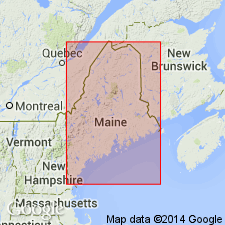
Named for town of Hutchins Corner, Palermo 7.5-min quad, Kennebec and Waldo Cos., southern ME. Type locality is vicinity of Hutchins Corner. Previously mapped as Vassalboro Formation; the stratigraphic position and internal relationships of the Vassalboro have never been clearly understood. Recent observations suggest that Vassalboro includes rocks correlated lithologically with Waterville and Sangerville Formations, as well as with rocks older than Waterville. Rocks older than Waterville are here named Hutchins Corner Formation and the Vassalboro should be abandoned. Good outcrops of upper part may be seen for a distance of 1.6 km south of Hutchins Corner along road to Palermo, and for a distance of 1.3 km along road west of Hutchins Corner. Lower part may be observed in North Palermo and in vicinity of Carrs Corner. Marble separating upper and lower parts may be seen on a woods road 0.5 km southwest of Carrs Corner. Underlies an area that extends northeast from South Windsor and is 1.5 km wide at south end and 5 km wide at north end. Consists of slightly rusty, gray to dark-gray, variably bedded wacke siltstone interbedded with thin-bedded phyllite and quartzite. Marble separates upper and lower parts. Contains a basal sandstone. Underlies Waterville; overlies Cushing Formation. Is unfossiliferous, but stratigraphic position suggests that age is latest Ordovician to Llandoverian [Early Silurian].
Source: GNU records (USGS DDS-6; Reston GNULEX).

- Usage in publication:
-
- Hutchins Corner Formation*
- Modifications:
-
- Areal extent
- AAPG geologic province:
-
- New England province
Summary:
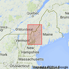
Waterville Formation is underlain by the Hutchins Corner Formation which is exposed just southeast of the map area. The Hutchins Corner is similar to Quimby Formation and is possibly correlative to it; unlike the Quimby, however, the base of the Hutchins Corner may be a major unconformity above significantly older, previously metamorphosed rocks. Age is Ordovician(?) and Silurian (Llandoverian) following Osberg (1988) and using Ordovician-Silurian boundary of Tucker and others (1991).
Source: GNU records (USGS DDS-6; Reston GNULEX).
For more information, please contact Nancy Stamm, Geologic Names Committee Secretary.
Asterisk (*) indicates published by U.S. Geological Survey authors.
"No current usage" (†) implies that a name has been abandoned or has fallen into disuse. Former usage and, if known, replacement name given in parentheses ( ).
Slash (/) indicates name conflicts with nomenclatural guidelines (CSN, 1933; ACSN, 1961, 1970; NACSN, 1983, 2005, 2021). May be explained within brackets ([ ]).

