The National Geologic Map Database is migrating to a new infrastructure. We apologize for any service disruptions during this process.
|
|---|


- Usage in publication:
-
- Hosston formation*
- Modifications:
-
- Named
- Dominant lithology:
-
- Shale
- Dolomite
- Sandstone
- AAPG geologic province:
-
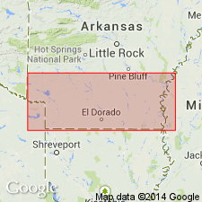
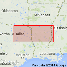
- Arkla basin
Summary:
Name Hosston Formation chosen by Shreveport Geological Society to designate Lower Cretaceous red and gray shales, dolomites, and sandstones above Cotton Valley formation and below Sligo formation. Replaces Travis Peak, as applied to beds older than real Travis Peak of TX. Base of Hosston is placed above highest black shale unit of Cotton Valley formation. It is marked by a basal conglomerate in AR and in northern LA. Formation grades offshore, south of Shreveport area, into fossiliferous dark shales and Limestones, which contain minor amounts of interbedded red shale and sandstone. Thickness ranges from about 800 ft in AR to over 2,000 ft in northern LA and eastern TX.
Source: GNU records (USGS DDS-6; Reston GNULEX).
- Usage in publication:
-
- Hosston formation
- Modifications:
-
- Contact revised
- AAPG geologic province:
-
- Arkla basin
Summary:
Lower contact revised in that Hosston formation overlies the newly named Dorcheat member of the newly named Schuler formation, upper formation of the Cotton Valley group (rank raised). Extent of use of name Hosston not stated but type Schuler is in southern AR in the Arkla basin. Nomenclature chart. Of Early Cretaceous, Coahuila age.
Source: GNU records (USGS DDS-6; Denver GNULEX).
- Usage in publication:
-
- Hosston Formation
- Modifications:
-
- Overview
- AAPG geologic province:
-
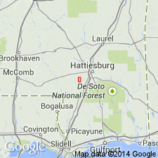
- Mid-Gulf Coast basin
Summary:
Three major sand intervals are present in the Hosston Formation of the report area. The uppermost sandstone has been informally named the Booth Sandstone after the discovery well, Florida Gas Exploration #1 Booth, Jefferson Davis Co., MS (Scherer, 1980). The two lower sandstones (ascending) are referred to as Hosston C and Hosston B Sandstones. The Booth contains productive mouth bar sands and non-productive channel sands.
Source: GNU records (USGS DDS-6; Reston GNULEX).
For more information, please contact Nancy Stamm, Geologic Names Committee Secretary.
Asterisk (*) indicates published by U.S. Geological Survey authors.
"No current usage" (†) implies that a name has been abandoned or has fallen into disuse. Former usage and, if known, replacement name given in parentheses ( ).
Slash (/) indicates name conflicts with nomenclatural guidelines (CSN, 1933; ACSN, 1961, 1970; NACSN, 1983, 2005, 2021). May be explained within brackets ([ ]).