- Usage in publication:
-
- Upper Homewood sandstone*
- Modifications:
-
- Named
- Dominant lithology:
-
- Sandstone
- AAPG geologic province:
-
- Appalachian basin
Summary:
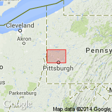
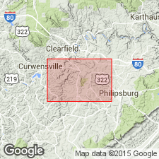
Named as top member of Beaver River group. Named for Homewood Station, Beaver Co., western PA. Consists of yellowish-white, massive, conglomeratic sandstone. Thickness is 75 to 155 ft. Separated from overlying Brookville coal by 4 ft of fire clay. At type locality, where 155 ft thick, cuts out overlying Clarion coal group up to a higher horizon than Ferriferous (Vanport) limestone). Lies 20 to 80 ft above Connoquenessing (Lower Homewood) sandstone. [Age is Pennsylvanian.]
Source: GNU records (USGS DDS-6; Reston GNULEX).
- Usage in publication:
-
- Lower Homewood sandstone
- Modifications:
-
- Areal extent
- AAPG geologic province:
-
- Appalachian basin
Summary:
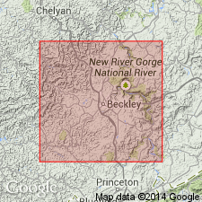
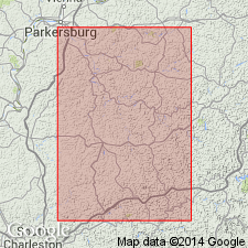
Extended to WV as Lower Homewood sandstone of Kanawha formation. Underlies Stockton A coal and overlies Stockton coal. Thickness is 48 ft and 4 in.
Source: GNU records (USGS DDS-6; Reston GNULEX).
- Usage in publication:
-
- Homewood sandstone member
- Modifications:
-
- Revised
- Areal extent
- AAPG geologic province:
-
- Appalachian basin
Summary:
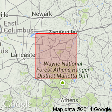
Extended into OH as Homewood sandstone member of Brookville cyclothem in Perry Co. Base of Homewood is considered boundary between Pottsville and Allegheny series.
Source: GNU records (USGS DDS-6; Reston GNULEX).
- Usage in publication:
-
- Homewood sandstone member
- Modifications:
-
- Revised
- AAPG geologic province:
-
- Appalachian basin
Summary:
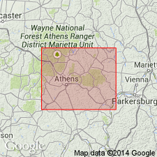
In Athens Co., OH, used as Homewood sandstone member of Brookville cyclothem. At type exposure in PA, Homewood is reported to include coalesced sandstones of various cycles of deposition, but in OH, Homewood is recognized as sandstone immediately below Brookville member and above Tionesta coal. Either Brookville underclay or marine Putnam Hill shale overlies Homewood; contact, where observed, is thin and gradational. Thickness is 30 ft.
Source: GNU records (USGS DDS-6; Reston GNULEX).
- Usage in publication:
-
- Homewood sandstone and shale
- Modifications:
-
- Revised
- AAPG geologic province:
-
- Appalachian basin
Summary:
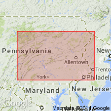
Revised as Homewood sandstone and shale and placed at top of Mercer formation in PA.
Source: GNU records (USGS DDS-6; Reston GNULEX).
- Usage in publication:
-
- Homewood Formation*
- Modifications:
-
- Revised
- AAPG geologic province:
-
- Appalachian basin
Summary:
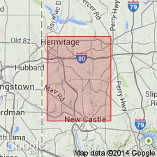
Revised as Homewood Formation of Pottsville Group. Locally divisible into an unnamed lower sandstone member and an unnamed upper shale member.
Source: GNU records (USGS DDS-6; Reston GNULEX).
- Usage in publication:
-
- Homewood Sandstone Member*
- Modifications:
-
- Revised
- AAPG geologic province:
-
- Appalachian basin
Summary:
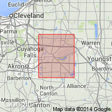
In OH, revised as Homewood Sandstone Member of Pottsville Formation.
Source: GNU records (USGS DDS-6; Reston GNULEX).
- Usage in publication:
-
- Homewood Sandstone
- Modifications:
-
- Overview
- AAPG geologic province:
-
- Appalachian basin
Summary:
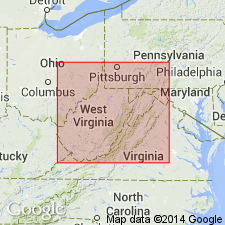
Used as Homewood Sandstone in Kanawha Formation.
Source: GNU records (USGS DDS-6; Reston GNULEX).
- Usage in publication:
-
- Homewood sandstone
- Modifications:
-
- Revised
- AAPG geologic province:
-
- Appalachian basin
Summary:
Strata previously included in Homewood sandstone are now locally included in Mercer Formation.
Source: GNU records (USGS DDS-6; Reston GNULEX).
- Usage in publication:
-
- Homewood Sandstone
- Modifications:
-
- Revised
- Age modified
- AAPG geologic province:
-
- Appalachian basin
Summary:
Revised as Homewood Sandstone in Pottsville Group in WV. Age is Middle Pennsylvanian (Atokan).
Source: GNU records (USGS DDS-6; Reston GNULEX).
- Usage in publication:
-
- Homewood Sandstone Member*, Formation*
- Modifications:
-
- Overview
- Areal extent
- AAPG geologic province:
-
- Appalachian basin
Summary:
May be used as either a formation in Pottsville Group or member of Pottsville Formation. Homewood is not used in MD.
Source: GNU records (USGS DDS-6; Reston GNULEX).
For more information, please contact Nancy Stamm, Geologic Names Committee Secretary.
Asterisk (*) indicates published by U.S. Geological Survey authors.
"No current usage" (†) implies that a name has been abandoned or has fallen into disuse. Former usage and, if known, replacement name given in parentheses ( ).
Slash (/) indicates name conflicts with nomenclatural guidelines (CSN, 1933; ACSN, 1961, 1970; NACSN, 1983, 2005, 2021). May be explained within brackets ([ ]).

