The National Geologic Map Database is migrating to a new infrastructure. We apologize for any service disruptions during this process.
|
|---|


- Usage in publication:
-
- Highlandcroft granodiorite
- Modifications:
-
- Named
- Dominant lithology:
-
- Granodiorite
- AAPG geologic province:
-
- New England province
Summary:
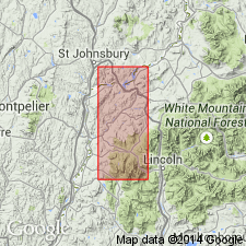
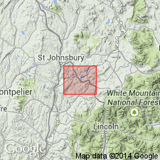
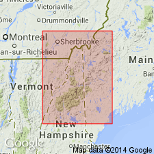
Named for a large estate called Highlandcroft on St. Johnsbury Rd, 1.5 mi west-northwest of Littleton, NH. Estate is located on largest body of the rock. Consists of chiefly greenish-gray granodiorite. Applied to the granodiorite and associated intrusives that are younger than Albee, Ammonoosuc, and Partridge formations and are older than Clough, Fitch, and Littleton formations. [Highlandcroft granodiorite is part of the Highlandcroft magma series.]
Source: GNU records (USGS DDS-6; Reston GNULEX).
- Usage in publication:
-
- Highlandcroft granodiorite
- Modifications:
-
- Mapped
- AAPG geologic province:
-
- New England province
Summary:
Pl. 1. Highlandcroft granodiorite of Highland Croft magma series. Map bracket shows Highlandcroft granodiorite above Partridge formation and below Clough conglomerate. Age is Late Ordovician(?).
Source: US geologic names lexicon (USGS Bull. 1200, p. 1759).
- Usage in publication:
-
- Highlandcroft Granodiorite*
- Modifications:
-
- Geochronologic dating
- Age modified
- AAPG geologic province:
-
- New England province
Summary:
U-Th-Pb dating yields age of 450+/-Ma. [Using the 1983 DNAG time scale, the rock is Late Ordovician.]
Source: GNU records (USGS DDS-6; Reston GNULEX).

- Usage in publication:
-
- Highlandcroft Granodiorite
- Modifications:
-
- Not used
- AAPG geologic province:
-
- New England province
Summary:
Highlandcroft Plutonic Suite not formally subdivided, so the name Highlandcroft Granodiorite is not used.
Source: GNU records (USGS DDS-6; Reston GNULEX).

- Usage in publication:
-
- Highlandcroft Granodiorite
- Modifications:
-
- Not used
- AAPG geologic province:
-
- New England province
Summary:
Only Highlandcroft Plutonic Suite is used. Descriptive petrologic names are given to its subdivisions.
Source: GNU records (USGS DDS-6; Reston GNULEX).
For more information, please contact Nancy Stamm, Geologic Names Committee Secretary.
Asterisk (*) indicates published by U.S. Geological Survey authors.
"No current usage" (†) implies that a name has been abandoned or has fallen into disuse. Former usage and, if known, replacement name given in parentheses ( ).
Slash (/) indicates name conflicts with nomenclatural guidelines (CSN, 1933; ACSN, 1961, 1970; NACSN, 1983, 2005, 2021). May be explained within brackets ([ ]).