- Usage in publication:
-
- High Lake Member
- Modifications:
-
- Named
- Dominant lithology:
-
- Dolostone
- AAPG geologic province:
-
- Wasatch uplift
- Great Basin province
Summary:
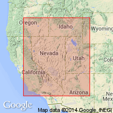
Named as member (second from base, of six members) of Laketown Dolostone (redescribed). Derivation of name not given. Type section is at Tony Grove Lake in Bear River Range, SW1/4 SW1/4 of unsurveyed sec 5, T13N, R3E, northeastern Cache Co, UT, Wasatch uplift. Outcrops at numerous mountain ranges in western UT and eastern NV, Great Basin province. Consists of light-gray to medium-gray, very finely to coarsely crystalline dolostone; medium to very thick bedded; partly lenticular and laminated; weathers from light gray to medium gray. Deposited in a subtidal environment. Thickness at type is 354 ft; averages 370 ft. Overlies Tony Grove Lake Member (new) of Laketown; underlies Gettel Member (new) of Laketown. Measured sections. Silurian age [basis of age not stated].
Source: GNU records (USGS DDS-6; Denver GNULEX).
For more information, please contact Nancy Stamm, Geologic Names Committee Secretary.
Asterisk (*) indicates published by U.S. Geological Survey authors.
"No current usage" (†) implies that a name has been abandoned or has fallen into disuse. Former usage and, if known, replacement name given in parentheses ( ).
Slash (/) indicates name conflicts with nomenclatural guidelines (CSN, 1933; ACSN, 1961, 1970; NACSN, 1983, 2005, 2021). May be explained within brackets ([ ]).

