The National Geologic Map Database is migrating to a new infrastructure. We apologize for any service disruptions during this process.
|
|---|


- Usage in publication:
-
- Hicks formation*
- Modifications:
-
- Original reference
- Dominant lithology:
-
- Dolomite
- Sandstone
- Shale
- AAPG geologic province:
-
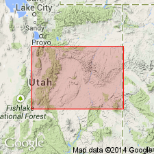
- Great Basin province
Summary:
Pg. 421-432. Hicks formation. Greater part consists of dolomite similar to those of underlying Lamb dolomite, but the formation also contains lenticular beds of sandstone, fossiliferous limestone, and in one place shale. Contains early Late Cambrian fossils. Thickness 600 to 1,200 feet. Variation in thickness believed to indicate unconformity with overlying Chokeberry dolomite, of Early Ordovician age.
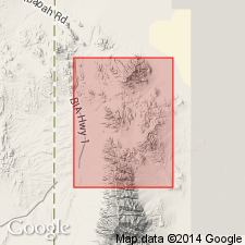
Named from exposures in Hicks Gulch, in North Pass Canyon, Gold Hill district, Gold Hill 15-min quadrangle, Tooele Co., western UT.
[See also Nolan's USGS Prof. Paper 177, 1935.]
Source: US geologic names lexicon (USGS Bull. 896, p. 951).
- Usage in publication:
-
- Hicks formation*
- Modifications:
-
- Areal extent
- AAPG geologic province:
-
- Great Basin province
Summary:
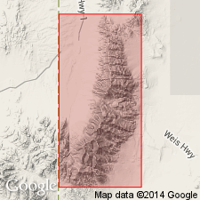
Pg. 17-18, 53-54. Hicks formation. Thickness in Deep Creek Range, western Utah, 599 feet. Underlies Dunderberg shale; overlies Lamb dolomite. Because of lithick similarities and age relationships, it is recommended that Orr formation and underlying Weeks limestone be extended to other areas of similar lithology in preference to Hicks and Lamb formations. Age is Late Cambrian.
Source: US geologic names lexicon (USGS Bull. 1200, p. 1752-1753).
- Usage in publication:
-
- Hicks formation*
- Modifications:
-
- Overview
- AAPG geologic province:
-
- Great Basin province
Summary:
Pg. 1067. Hicks formation. Evidence indicates that an unconformity is not present at top of Hicks formation; rather the Hicks thins depositionally, and the Cambro-Ordovician boundary lies within Chokeberry dolostone.
Source: US geologic names lexicon (USGS Bull. 1200, p. 1752-1753).
- Usage in publication:
-
- Hicks Formation*
- Modifications:
-
- Overview
- AAPG geologic province:
-
- Great Basin province
Summary:
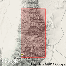
Fig. 2. Hicks Formation. Present in Deep Creek Range, Juab and Tooele Counties, Utah. Correlates with Orr Formation of House Range and Wah Wah Mountains, Millard and Beaver Counties, Utah. Age is Late Cambrian.
Source: Modified from GNU records (USGS DDS-6; Denver GNULEX).
For more information, please contact Nancy Stamm, Geologic Names Committee Secretary.
Asterisk (*) indicates published by U.S. Geological Survey authors.
"No current usage" (†) implies that a name has been abandoned or has fallen into disuse. Former usage and, if known, replacement name given in parentheses ( ).
Slash (/) indicates name conflicts with nomenclatural guidelines (CSN, 1933; ACSN, 1961, 1970; NACSN, 1983, 2005, 2021). May be explained within brackets ([ ]).