- Usage in publication:
-
- Hertha limestone
- Modifications:
-
- Original reference
- AAPG geologic province:
-
- Cherokee basin
Summary:
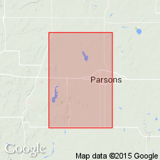
Pg. 58, 59. Hertha limestone. Limestone, composing lower member of Erie formation and forming escarpment extending west from Hertha [Neosho County, Kansas], crossing Labette Creek south of Galesburg and following its west bluff for considerable distance, terminating in mounds west of Altamount. Overlain by Mound Valley limestone.
Source: US geologic names lexicon (USGS Bull. 896, p. 947-948).
- Usage in publication:
-
- Hertha limestone*
- Modifications:
-
- Principal reference
- Revised
- Dominant lithology:
-
- Limestone
- Shale
- AAPG geologic province:
-
- Cherokee basin
Summary:
Pg. 34, 35. Hertha limestone is here introduced for the limestones succeeding Upper Pleansanton shales (Dudley shale) as exposed in vicinity of Hertha. Haworth (1898) says this series of beds is probably a continuation of Bethany Falls limestone, a term first used by Broadhead (1872) for the formation at Bethany, Harrison County, northwestern Missouri, a distant locality. Should this correlation be established, Bethany would displace Hertha. Underlies Galesburg shale. Thickness 10 to 20 feet. Thins out in hills northwest of Altamont. Fossils listed. [Age is Pennsylvanian.]
Source: US geologic names lexicon (USGS Bull. 896, p. 947-948).
- Usage in publication:
-
- Hertha limestone
- Modifications:
-
- Areal extent
- AAPG geologic province:
-
- Cherokee basin
Summary:
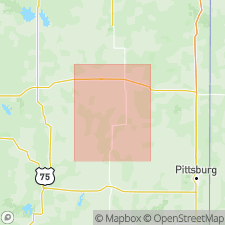
Hertha limestone overlies Dudley shale and underlies Ladore shale, which is separated from Galesburg shale by Mound Valley limestone [Bethany Falls limestone].
Source: US geologic names lexicon (USGS Bull. 896, p. 947-948).
- Usage in publication:
-
- Hertha limestone member
- Modifications:
-
- Revised
- AAPG geologic province:
-
- Cherokee basin
Summary:
Hertha limestone member. Basal member of Kansas City formation and of Missouri group. Underlies Ladore shale member and overlies Pleasanton formation. Galesburg shale member rests on Bethany Falls limestone, which lies on Ladore shale.
Source: US geologic names lexicon (USGS Bull. 896, p. 947-948); GNC KS-NE Pennsylvanian Corr. Chart, sheet 1, Oct. 1936.

- Usage in publication:
-
- Hertha limestone
- Modifications:
-
- Overview
- AAPG geologic province:
-
- Cherokee basin
Summary:
For many succeeding years [1915 to 1930] the definition of Hertha limestone was for the limestone overlying Dudley shale and underlying Ladore shale.
Source: US geologic names lexicon (USGS Bull. 896, p. 947); GNC KS-NE Pennsylvanian Corr. Chart, sheet 1, Oct. 1936.
- Usage in publication:
-
- Hertha limestone
- Modifications:
-
- Not used
- AAPG geologic province:
-
- Cherokee basin
Summary:
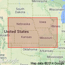
Pg. 90, 97. Stated that "so-called Hertha limestone at Hertha is really Bethany Falls limestone" (which has priority), and introduced Sniabar limestone for upper of the limestones called Hertha by Hinds and Greene, and Schubert Creek limestone for lower limestone called Hertha by Hinds and Greene. All included in Swope limestone of Bronson group.
Source: US geologic names lexicon (USGS Bull. 896, p. 947-948); GNC KS-NE Pennsylvanian Corr. Chart, sheet 2, Oct. 1936.
- Usage in publication:
-
- Hertha limestone
- Modifications:
-
- Areal extent
- AAPG geologic province:
-
- Forest City basin
Summary:
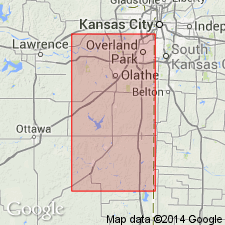
Pg. 24. Hertha limestone of Bronson group. J.M. Jewett (Kansas Acad. Sci. Trans., v. 36, 1933, p. 134) rightly concluded the limestone at Hertha to which Adams in 1903 applied name Hertha is Bethany Falls limestone. In 1904 (USGS Bull. 238, p. 14, 16) Adams published maps of area immediately north of Hertha in which first limestone below the Bethany Falls (=Mound Valley limestone) was indicated as Hertha. This lower limestone is the 6-foot limestone cropping out at Hertha, and not the one shown as Hertha in previous publication. The reason for this confusing change in mapping was not given in text. The early Kansas Survey followed this second usage of Adams, so that, excepting original definition, the name Hertha has been consistently applied to lower limestone of Bronson group [of Newell, not Bronson group of R.C. Moore, 1935, which includes 150 feet of underlying beds called Bronson formation by Moore]. It was discovered by F.C. Greene, R.C. Moore, and me, in special field investigation of Hertha problem, that lower limestone cropping out at Hertha is continuous across east Kansas, and (contrary to Jewett's 1933 conclusion) is in part = the limestone at Kansas City that has in past been called Hertha. It does not seem advisable to suppress Hertha on ground it is synonym of Bethany Falls. In Adams' final usage and subsequent work it appears there has been consistent application of Hertha to one limestone unit, the lower of the Bronson or "triple system" of early writers. I propose here to retain Hertha in formational sense, for the limestone cropping out at Hertha, and for its immediate correlatives. In tracing the Hertha southward from Kansas [Hertha?] it was discovered by Greene, Moore, and me that the unit is added to above, so that over much of east Kansas it is divisible into 2 members, of unlike lithology, commonly separated by some shale. The upper member was thought to be Jewett's Schubert Creek limestone, and the lower one, so well developed in northeast Kansas and adjacent parts of Missouri, is here termed Sniabar limestone, from exposures along Sniabar Creek in southeast part of Jackson County, northwest Missouri.
Source: US geologic names lexicon (USGS Bull. 896, p. 947); GNC KS-NE Pennsylvanian Corr. Chart, sheet 2, Oct. 1936.

- Usage in publication:
-
- Hertha limestone
- Modifications:
-
- Areal extent
- AAPG geologic province:
-
- Cherokee basin
Summary:
Pg. 79, 80. Hertha limestone of Bronson group. It is agreed the beds called Hertha by Hinds and Greene at Kansas City are same as Hertha limestone at type locality. The names Elm Branch [shale], Sniabar [limestone], Tennison Creek [shale], and Schubert Creek [limestone] are not required and will not be recognized. Critzer limestone may prove useful, but is not here recognized. Hertha limestone is considered to comprise first important limestone unit, locally divided by shale into 2 or more beds, below Middle Creek Limestone Member of Swope Limestone. Thickness of shale interval between top of Hertha and base of Middle Creek (or, in south, where Middle Creek disappears, the base of the Bethany Falls) ranges from 2 to 50 feet or more. The Hertha is basal formation of Bronson group and rests conformably on Bourbon formation. Black fissile shale immediately underlies it near Hertha and to south. Thickness of Hertha 4 feet to locally 30 feet in north part of Bourbon County, where upper and lower members are separated by 15 feet of shale. The Hertha extends from south-central Iowa to Labette County, Kansas, but is not known to reach Oklahoma line. Definition and description given by Adams in 1903 and his stratigraphic section in his 1904 paper agree in indicating that rock he intended to name Hertha is the one exposed just east of Hertha. Age is Late Pennsylvanian (Missouri age).
See also "Modern classifications of the Pennsylvanian rocks of eastern Kansas and southeastern Nebraska," compiled by M.G. Wilmarth, Secretary of Committee on Geologic Names, USGS unpub. corr. chart, Oct. 1936, sheet 2.
Source: US geologic names lexicon (USGS Bull. 896, p. 947-948); GNC KS-NE Pennsylvanian Corr. Chart, sheet 2, Oct. 1936.
- Usage in publication:
-
- Hertha limestone
- Modifications:
-
- Overview
- AAPG geologic province:
-
- Cherokee basin
Summary:
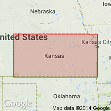
Pg. 193. Hertha limestone, in Bronson group, includes (ascending) Critzer limestone, Mound City shale, and Sniabar limestone members. Thickness, featheredge to about 30 feet. Overlies Bourbon shale; underlies Ladore shale.
Source: US geologic names lexicon (USGS Bull. 1200, p. 1747).
- Usage in publication:
-
- Hertha formation
- Modifications:
-
- Overview
- AAPG geologic province:
-
- Cherokee basin
Summary:
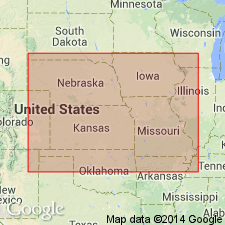
Pg. 2028-2029, 2031 (fig. 4). Hertha formation. Underlies Ladore formation; overlies Pleasanton group. Kansas City group redefined in Kansas and Nebraska; lower boundary placed at base of Hertha formation. Bronson reduced to subgroup [not adopted by the USGS] of Kansas City group (revised). This classification agreed upon by Geological Surveys of Iowa, Kansas, Missouri, Nebraska, and Oklahoma, May 1947.
["Subgroup" not recognized as a formal stratigraphic rank term (CSN, 1933; ACSN, 1961, 1970; NACSN, 1983, 2005, 2021). Considered informal and should not be capitalized.]
Source: US geologic names lexicon (USGS Bull. 1200, p. 1747).
- Usage in publication:
-
- Hertha limestone
- Modifications:
-
- Areal extent
- AAPG geologic province:
-
- Cherokee basin
Summary:
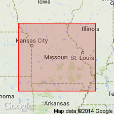
Pg. 10, 11. Hertha limestone. In Missouri, Hertha includes (ascending) Critzer limestone, Mound City shale, and Sniabar limestone members.
Source: US geologic names lexicon (USGS Bull. 1200, p. 1747).
- Usage in publication:
-
- Hertha limestone
- Modifications:
-
- Areal extent
- AAPG geologic province:
-
- Iowa shelf
Summary:
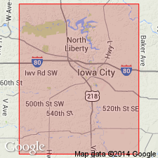
Pg. 421. Hertha limestone. Thickness about 3 feet in Madison County, Iowa. Underlies Ladore shale; overlies Pleasanton shale.
Source: US geologic names lexicon (USGS Bull. 1200, p. 1747).
- Usage in publication:
-
- Hertha limestone
- Modifications:
-
- Areal extent
- AAPG geologic province:
-
- Iowa shelf
Summary:
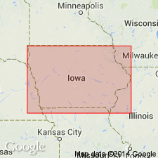
Pg. 28, fig. 5. Hertha limestone. Basal formation in Kansas City group. In Madison County, typically composed of three limestones with one thin shale separating the lower two. Middle limestone bed fragmental and fossiliferous; upper and lower limestones argillaceous and lenticular. Thickness about 4 feet in Madison County; about 9 feet in cores from Council Bluffs area. Underlies Ladore shale; overlies Pleasanton group. Age is Late Pennsylvanian (Missourian).
Source: US geologic names lexicon (USGS Bull. 1200, p. 1747, Ladore entry p. 2069).
For more information, please contact Nancy Stamm, Geologic Names Committee Secretary.
Asterisk (*) indicates published by U.S. Geological Survey authors.
"No current usage" (†) implies that a name has been abandoned or has fallen into disuse. Former usage and, if known, replacement name given in parentheses ( ).
Slash (/) indicates name conflicts with nomenclatural guidelines (CSN, 1933; ACSN, 1961, 1970; NACSN, 1983, 2005, 2021). May be explained within brackets ([ ]).

