- Usage in publication:
-
- Hermit shale*
- Modifications:
-
- Original reference
- Dominant lithology:
-
- Shale
- Sandstone
- AAPG geologic province:
-
- Plateau sedimentary province
- Basin-and-Range province
Summary:
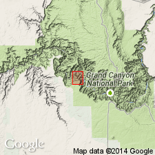
Pg. 26, 28, 64+. Hermit shale of Aubrey group. Deep brick-red sandy shales and fine-grained friable sandstones, 267 to 317 feet thick at Hermit Basin, the type locality. Unconformably overlie Supai formation as herein redefined, but formerly included in Supai formation under the designations "shale of Supai formation" and "upper Supai shale." The beds are separated from Supai formation because of unconformity at their base and fact that they contain plants and other fossils of Permian age; the underlying Supai formation as here redefined being considered of Pennsylvanian age, but possibly of Permian age in its upper part. Lithologically the Hermit shale resembles many beds of sandy shale in the Supai, but, unlike the Supai, it contains no massive hard layers of cross-bedded sandstone, and the more sandy beds in the Hermit are prevailingly reddish, not buff, as they are in the Supai. Thin platy lamination is most prominent structural characteristic of Hermit shale. Thickness varies from possibly less than 75 feet in region about Tanner Canyon to 500+ feet west of Bass Canyon. Underlies Coconino sandstone. Present in northern Arizona, southern Utah, and southeastern Nevada. Age is Permian.
Source: US geologic names lexicon (USGS Bull. 896, p. 944); supplemental information from GNU records (USGS DDS-6; Denver GNULEX).
- Usage in publication:
-
- Hermit formation
- Modifications:
-
- Redescribed
- Dominant lithology:
-
- Sandstone
- Siltstone
- AAPG geologic province:
-
- Great Basin province
- Plateau sedimentary province
Summary:
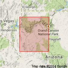
Lower contact revised in that Hermit intertongues with the upper beds of the Queantoweap sandstone (named) in sections between South Hurricane Cliffs, Mohave Co, AZ and the Virgin Mountains of AZ-NV, Plateau sedimentary and Great Basin provinces. Rank term changed from Hermit shale to Hermit formation because it is composed predominantly of sandstone with a minor amount of siltstone. The sandstone is dull red, fine-grained, massive- to thin-bedded, very fine grained to medium grained. Some beds are calcareous. Ranges between 332 ft thick at Bass Trail (original locality) to 933 ft at South Hurricane Cliffs. Thins eastward. Is 700 ft thick at North Grand Wash Cliffs and Pakoon Ridge. Underlies Coconino sandstone. Assigned to the Lower Permian.
Source: GNU records (USGS DDS-6; Denver GNULEX).
- Usage in publication:
-
- Hermit Shale*
- Modifications:
-
- Contact revised
- AAPG geologic province:
-
- Plateau sedimentary province
Summary:
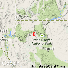
Overlies upper formation, the Esplanade Sandstone (formerly Esplanade Sandstone Member of Supai Formation) of Supai Group (rank raised) in the Grand Canyon region of northern AZ in the Plateau sedimentary province. Lower contact is an unconformity on an erosion surface with 44 ft of relief. Is of Leonardian, or Early Permian age.
Source: GNU records (USGS DDS-6; Denver GNULEX).
- Usage in publication:
-
- Hermit Schist*
- Modifications:
-
- Revised
- Redescribed
- Dominant lithology:
-
- Schist
- AAPG geologic province:
-
- Salton basin
Summary:
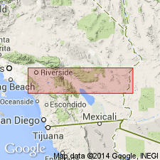
Names applied in Grand Canyon area extended geographically to sequence in Big Maria Mountains of southeast CA, Salton basin, with change of lithic designation. Hermit Shale redescribed as Hermit Schist. Hermit consists of fine-grained, pale-green, quartzitic calc-silicate schist. Thickness is 0.7 to 50 meters. Contacts revised in that underlying and overlying rocks are metamorphosed. Overlies Supai Formation; underlies Coconino quartzite (redescribed). This part of CA was part of stable craton of North America in Paleozoic and early Mesozoic time. Rocks were intruded by Middle Jurassic granodiorite and metamorphosed in Cretaceous time.
Source: GNU records (USGS DDS-6; Denver GNULEX).
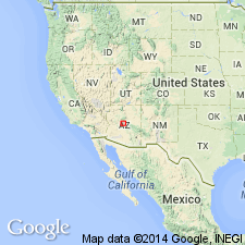
- Usage in publication:
-
- Hermit Formation
- Modifications:
-
- Redescribed
- Dominant lithology:
-
- Mudstone
- Siltstone
- Sandstone
- AAPG geologic province:
-
- Plateau sedimentary province
Summary:
Extends across northern AZ from Sedona (south) to Aubrey Cliffs (north), Yavapai Co, Plateau sedimentary province. Not recognized east of Sedona, Yavapai Co, in central or eastern Mogollon Rim, AZ, where partially equivalent rocks are assigned to Supai Formation. Redescribed as Hermit Formation (rather than shale) because it consists mostly of sandy mudstone, sandy siltstone, and very fine grained sandstone. Forms steep, debris-covered slopes. Thickness irregular--less than 65 ft thick to nearly 330 ft thick. Upper contact revised in Mogollon Rim area in that Sycamore Pass (west) or Bell Rock (east) Member (both newly named) of Schnebly Hill Formation (newly named) overlie Hermit; Schnebly Hill rocks were mapped as Supai in earlier reports. Overlies and tongues into Supai Formation or Group. Underlies Coconino Sandstone in Aubrey Cliffs area. Cross sections. Nomenclature chart. Of Early Permian, Leonardian age.
Source: GNU records (USGS DDS-6; Denver GNULEX).
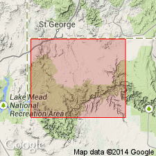
- Usage in publication:
-
- Hermit Formation*
- Modifications:
-
- Redescribed
- Dominant lithology:
-
- Sandstone
- Siltstone
- AAPG geologic province:
-
- Great Basin province
- Plateau sedimentary province
Summary:
Clarifies nomenclature of Lower Permian clastic units below Leonardian Toroweap Formation in northwest AZ, southeast NV, and southwest UT, Plateau sedimentary and Great Basin provinces. Uses term Hermit Formation rather than Hermit Shale because unit consists of sandstone and siltstone. Erosional channels have been cut into underlying Esplanade Sandstone in many areas of central and eastern Grand Canyon region. In western Grand Canyon and other areas west and north of AZ, little evidence of an erosional break can be found between Hermit and underlying Queantoweap or Esplanade Sandstones and boundary is arbitrarily selected on basis of lithology, color, and cliff/slope profile; a subdued erosional unconformity is probable along Hurricane and Grand Wash Cliffs. Upper part of Queantoweap in Beaver Dam Mountains, southwest UT, is stratigraphically equivalent to Hermit in Gorge of Virgin River and elsewhere in northwest AZ and southeast NV. Facies changes rapidly alter characteristics of Hermit within Gorge of Virgin River to that of Queantoweap in a northwesterly direction. Unconformably underlies Coconino Sandstone or Toroweap Formation. Thickness ranges from 137 m at Hurricane Cliffs to 305 m at Gorge of the Virgin River. Comparison of nomenclature previously used in region (fig. 2). Measured sections. Early Permian age.
Source: GNU records (USGS DDS-6; Denver GNULEX).
For more information, please contact Nancy Stamm, Geologic Names Committee Secretary.
Asterisk (*) indicates published by U.S. Geological Survey authors.
"No current usage" (†) implies that a name has been abandoned or has fallen into disuse. Former usage and, if known, replacement name given in parentheses ( ).
Slash (/) indicates name conflicts with nomenclatural guidelines (CSN, 1933; ACSN, 1961, 1970; NACSN, 1983, 2005, 2021). May be explained within brackets ([ ]).

