- Usage in publication:
-
- Herat shale member*
- Modifications:
-
- Original reference
- Dominant lithology:
-
- Sandstone
- Shale
- AAPG geologic province:
-
- Great Basin province
Summary:
Pg. 421-432. Herat shale member of Ochre Mountain limestone. Thin and poorly exposed horizon of black shale interbedded with sandstone, lying 1,700+/- feet above base of western facies ot Ochre Mountain limestone. Age is Late Mississippian.
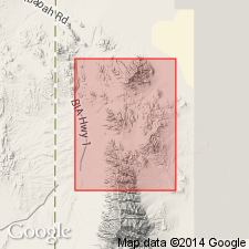
Named from Herat Mine near Clifton, Gold Hill 15-min quadrangle, Gold Hill district, Tooele Co., western UT.
[See also Nolan's USGS Prof. Paper 177, 1935.]
Source: US geologic names lexicon (USGS Bull. 896, p. 943).

- Usage in publication:
-
- Herat Shale Member*
- Modifications:
-
- Age modified
- AAPG geologic province:
-
- Great Basin province
Summary:
Lower part of Herat Shale Member of Ochre Mountain Limestone assigned to the upper part of the Chesterian or Late Mississippian in the northern Deep Creek Mountains, UT, Great Basin province. [Upper part not discussed.] Correlation charts.
Source: GNU records (USGS DDS-6; Denver GNULEX).
For more information, please contact Nancy Stamm, Geologic Names Committee Secretary.
Asterisk (*) indicates published by U.S. Geological Survey authors.
"No current usage" (†) implies that a name has been abandoned or has fallen into disuse. Former usage and, if known, replacement name given in parentheses ( ).
Slash (/) indicates name conflicts with nomenclatural guidelines (CSN, 1933; ACSN, 1961, 1970; NACSN, 1983, 2005, 2021). May be explained within brackets ([ ]).

