

- Usage in publication:
-
- Harvey conglomerate lentil*
- Modifications:
-
- Named
- Dominant lithology:
-
- Conglomerate
- AAPG geologic province:
-
- Appalachian basin
Summary:
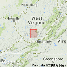
Harvey conglomerate lentil of Sewell formation named for village of Harvey, Raleigh Co., WV. Described as massive conglomerate, 0 to 50 ft thick, lying about 100 ft below Nuttall sandstone lentil. Age is Pennsylvanian.
Source: GNU records (USGS DDS-6; Reston GNULEX).
- Usage in publication:
-
- Harvey conglomerate
- Modifications:
-
- Redescribed
- Dominant lithology:
-
- Sandstone
- AAPG geologic province:
-
- Appalachian basin
Summary:
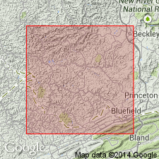
Harvey conglomerate is a massive current-bedded medium-grained to coarse grayish-white to yellowish-gray cliff-forming sandstone. Thickness ranges from 0 to 125 ft in study area. Underlies Lower Iaeger shale and overlies Sandy Huff shale. [This is definition used in subsequent reports of the West Virginia Geological Survey.]
Source: GNU records (USGS DDS-6; Reston GNULEX).
- Usage in publication:
-
- Harvey sandstone
- Modifications:
-
- Revised
- Dominant lithology:
-
- Sandstone
- AAPG geologic province:
-
- Appalachian basin
Summary:
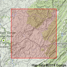
Harvey (conglomerate) sandstone varies from 20 to 60 ft thick. Unit is medium to coarse grained, grayish white or light brown, and lenticular. Locally, its interval is occupied in part or entirely by sandy shale. Underlies Iaeger sandstone. Locally apparently coalesces with Guyandot sandstone, cutting out intervening Sandy Huff shale and Castle coal.
Source: GNU records (USGS DDS-6; Reston GNULEX).

- Usage in publication:
-
- Harvey conglomerate
- Modifications:
-
- Overview
- AAPG geologic province:
-
- Appalachian basin
Summary:
Harvey is an unranked conglomeratic sandstone. Occurs within New River Formation between Lower Iaeger shale and Castle coal in Trap Hill district, Raleigh Co., WV.
Source: GNU records (USGS DDS-6; Reston GNULEX).
For more information, please contact Nancy Stamm, Geologic Names Committee Secretary.
Asterisk (*) indicates published by U.S. Geological Survey authors.
"No current usage" (†) implies that a name has been abandoned or has fallen into disuse. Former usage and, if known, replacement name given in parentheses ( ).
Slash (/) indicates name conflicts with nomenclatural guidelines (CSN, 1933; ACSN, 1961, 1970; NACSN, 1983, 2005, 2021). May be explained within brackets ([ ]).