

- Usage in publication:
-
- Hartshorne sandstone*
- Modifications:
-
- Original reference
- Dominant lithology:
-
- Sandstone
- Shale
- AAPG geologic province:
-
- Arkoma basin
Summary:
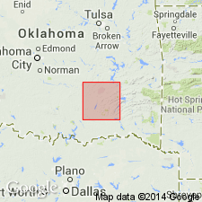
Pg. 436. Hartshorne sandstone. Brown to light-gray sandrock, 200 feet thick, underlying McAlester shale and overlying Silurian. In McAlester district, Oklahoma, basal formation of Coal Measures. Hartshorne coal lies above this sandstone and is separated from it by a thin but variable bed of shale. Age is Pennsylvanian. Age is Pennsylvanian (Allegheny). Report includes geologic maps.
Named from exposures near Hartshorne, Pittsburg Co., eastern OK.
Source: US geologic names lexicon (USGS Bull. 896, p. 919).

- Usage in publication:
-
- Hartshorne sandstone*
- Modifications:
-
- Overview
- AAPG geologic province:
-
- Arkoma basin
- Chautauqua platform
Summary:
Underlies McAlester shale (the base of which in Oklahoma is at top of 1st sandstone below Upper Hartshorne coal, and the base of which in Arkansas is at top of 1st sandstone below Lower Hartshorne coal) and overlies Atoka formation. The Hartshorne sandstone in Arkansas is now [ca. 1938] defined as the first continous sandstone underlying Lower Hartshorne coal. Some reports have included Lower Hartshorne coal in this sandstone. Age is Pennsylvanian (Allegheny).
Source: US geologic names lexicon (USGS Bull. 896, p. 919).
- Usage in publication:
-
- Hartshorne(?) Formation
- Modifications:
-
- Overview
Summary:
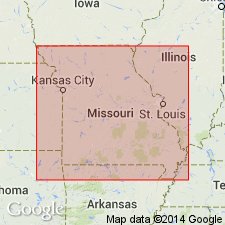
Pg. 127. Hartshorne(?) Formation. Thompson (1995, Missouri Dept. Nat. Res., Div. Geol. and Land Survey, 2nd ser., v. 40 revised, p. 97) stated "Beds of sandstone and shale, some of which are red, that locally lie between the Warner Formation and the black shale and coal succession assigned to the Riverton are tentatively assigned to the Hartshorne, which in Oklahoma is included in the Desmoinesian. These beds have been identified only in the subsurface of Vernon County and in the Forest City Basin. The succession is absent in many places, but attains a thickness of up to approximately 20 ft." Age is Pennsylvanian (Atokan and/or Desmoinesian).
Source: Publication.
For more information, please contact Nancy Stamm, Geologic Names Committee Secretary.
Asterisk (*) indicates published by U.S. Geological Survey authors.
"No current usage" (†) implies that a name has been abandoned or has fallen into disuse. Former usage and, if known, replacement name given in parentheses ( ).
Slash (/) indicates name conflicts with nomenclatural guidelines (CSN, 1933; ACSN, 1961, 1970; NACSN, 1983, 2005, 2021). May be explained within brackets ([ ]).