

- Usage in publication:
-
- Hartridge shale
- Modifications:
-
- Named
- Dominant lithology:
-
- Shale
- AAPG geologic province:
-
- Appalachian basin
Summary:
Pg. 288. Hartridge black shale of Pottsville group. Dark-gray to black shale, through which fossiliferous hard black concretions are scattered in large numbers. Thickness is 5 to 6 feet. Underlies Lower Guyandot sandstone and overlies Sewell coal. [Age is Pennsylvanian.]
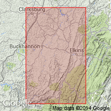
Exposed at Hartridge, Randolph Co., northern WV.
Source: US geologic names lexicon (USGS Bull. 896, p. 918-919).
- Usage in publication:
-
- Hartridge shale
- Modifications:
-
- Revised
- AAPG geologic province:
-
- Appalachian basin
Summary:
Included as part of New River group of Pottsville series. Consists of dark to black argillaceous laminated shale containing plant fossils. Thickness is up to 5 ft. Underlies lower Guyandot sandstone; separated from underlying Welch sandstone by Sewell coal.
Source: GNU records (USGS DDS-6; Reston GNULEX).

- Usage in publication:
-
- Hartridge shale
- Modifications:
-
- Overview
- AAPG geologic province:
-
- Appalachian basin
Summary:
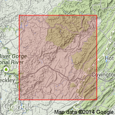
Hartridge is an unranked brackish to marginal marine and plant-bearing shale cropping out in the Middle Fork district of Randolph Co., WV. Occurs in the New River Formation directly above Sewell coal.
Source: GNU records (USGS DDS-6; Reston GNULEX).
For more information, please contact Nancy Stamm, Geologic Names Committee Secretary.
Asterisk (*) indicates published by U.S. Geological Survey authors.
"No current usage" (†) implies that a name has been abandoned or has fallen into disuse. Former usage and, if known, replacement name given in parentheses ( ).
Slash (/) indicates name conflicts with nomenclatural guidelines (CSN, 1933; ACSN, 1961, 1970; NACSN, 1983, 2005, 2021). May be explained within brackets ([ ]).