

- Usage in publication:
-
- Hart limestone member
- Modifications:
-
- Original reference
- Dominant lithology:
-
- Limestone
- Shale
- Sandstone
- AAPG geologic province:
-
- Arkoma basin
- South Oklahoma folded belt
Summary:
Hart limestone member of Stratford formation. A series of alternating limestones, shales, and sandstones that constitute basal member of Stratford formation. In vicinity of Hart the limestones are very prominent, but toward north and south some of them thin out while others grade into shale. As a rule arkosic material is not abundant in the limestones, but it is always present, and in a few beds constitutes large proportion of the rock. [Regarding age, see Stratford formation.]
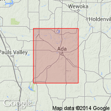
Named from typical development near village of Hart, western part of Pontotoc Co., central southern OK.
Source: GNU records (USGS DDS-6; Denver GNULEX).
- Usage in publication:
-
- Hart limestone member*
- Modifications:
-
- Mapped 1:500k
Summary:
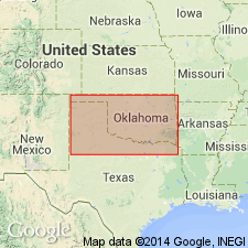
Hart limestone member is at base of Wichita formation is southwest and central southern part of state; is member of Stratgord formation of Pontotoc group in Pontotoc, Garvin, and Murray Counties, south-cetnral Oklahoma.
Source: US geologic names lexicon (USGS Bull. 1200, p. 1688-1689).
For more information, please contact Nancy Stamm, Geologic Names Committee Secretary.
Asterisk (*) indicates published by U.S. Geological Survey authors.
"No current usage" (†) implies that a name has been abandoned or has fallen into disuse. Former usage and, if known, replacement name given in parentheses ( ).
Slash (/) indicates name conflicts with nomenclatural guidelines (CSN, 1933; ACSN, 1961, 1970; NACSN, 1983, 2005, 2021). May be explained within brackets ([ ]).