

- Usage in publication:
-
- Harrisite dolomite*
- Modifications:
-
- Named
- Dominant lithology:
-
- Dolomite
- Chert
- AAPG geologic province:
-
- Great Basin province
Summary:
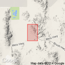
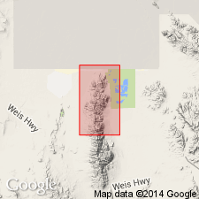
Named for exposures that cap hill east of Harrisite mine, Spors Mountain, Juab Co, UT in the Great Basin province. Section not complete east of mine so type section designated as west side of canyon 2,000 ft northeast of mine in N1/2 SE1/4 sec 10, T13S, R12W where formation is 174 ft thick and overlies Bell Hill dolomite (new) and underlies Lost Sheep dolomite (new). Ranges from 110 to 174 ft thick. Other good sections occur southwest of Blowout mine and south-southwest of Oversight mine, Spors Mountain. Is a massive dark-gray to black, locally banded dolomite that may contain as much as 20 percent black chert as nodules and discontinuous layers along bedding. Lower 10 ft is mottled and limy. Has faint white squiggly lines which are dolomitic replacements of HALYSITES. Contains poorly preserved corals, crinoid stems, and brachiopods. Assigned a Middle Silurian age. Geologic map. Stratigraphic sections.
Source: GNU records (USGS DDS-6; Denver GNULEX).
- Usage in publication:
-
- Harrisite dolomite*
- Modifications:
-
- Overview
- AAPG geologic province:
-
- Great Basin province
Summary:
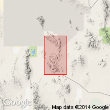
Mapped (geologic map) in small blocks on Spor Mountain, in Fandangle Canyon, on north, west, and south sides of peak 6,830 in Dugway Range, and in fault blocks and as patches on west side of Dugway Range. Ranges from 110 to 175 ft thick in area. Section 147 ft thick measured 5,000 ft S 53 deg W of peak 6,830 west central Dugway Range where Harrisite overlies Bell Hill dolomite and underlies Lost Sheep dolomite. Lower contact is with gray fine-grained dolomite of Bell Hill. Upper contact is with gray to black, medium-grained dolomite of Lost Sheep. Harrisite composed of black, medium-grained, massive, sandy-textured dolomite. Contains fossil debris (corals, brachiopods, gastropods, crinoid stems). Middle Silurian age assignment based on stratigraphic position.
Source: GNU records (USGS DDS-6; Denver GNULEX).
- Usage in publication:
-
- Harrisite Member*
- Modifications:
-
- Revised
- AAPG geologic province:
-
- Great Basin province
Summary:
Reduced in rank and assigned as second from base of four members of Laketown Dolomite in Fish Springs Range, Juab Co, UT, Great Basin province. Overlies Bell Hill Member (rank reduced) and underlies Lost Sheep Member (rank reduced), both of Laketown. Middle Silurian age.
Source: GNU records (USGS DDS-6; Denver GNULEX).
For more information, please contact Nancy Stamm, Geologic Names Committee Secretary.
Asterisk (*) indicates published by U.S. Geological Survey authors.
"No current usage" (†) implies that a name has been abandoned or has fallen into disuse. Former usage and, if known, replacement name given in parentheses ( ).
Slash (/) indicates name conflicts with nomenclatural guidelines (CSN, 1933; ACSN, 1961, 1970; NACSN, 1983, 2005, 2021). May be explained within brackets ([ ]).