- Usage in publication:
-
- Haney limestone
- Modifications:
-
- Named
- Dominant lithology:
-
- Limestone
- Shale
- AAPG geologic province:
-
- Illinois basin
Summary:
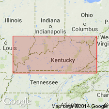
Named Haney limestone. Upper unit of "Golconda limestone". For use in Illinois basin in southeast Illinois, western Kentucky, and southern Indiana. At type section in southeast Illinois, consists of 12.5 ft of limestone with oolite at base, 11 ft of shale and limestone, 7 ft of coarsely crystalline fossiliferous slightly cross-bedded limestone, and 5 ft covered. Covered interval elsewhere is composed of soft, gray, partly fossiliferous shale with occasional streaks of green shale, red shale and brown dolomite. Typically 40 to 50 ft thick, extremes are 20 to 70 ft. Overlies Fraileys shale (Big Clifty sandstone); underlies Hardinsburg sandstone.
Source: GNU records (USGS DDS-6; Reston GNULEX).
- Usage in publication:
-
- Haney Limestone Member*
- Modifications:
-
- Areal extent
- AAPG geologic province:
-
- Illinois basin
Summary:
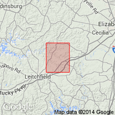
Haney Limestone Member of Golconda Formation adopted for use by the U. S. Geological Survey in Kentucky.
Source: GNU records (USGS DDS-6; Reston GNULEX).
- Usage in publication:
-
- Haney Limestone Member*
- Modifications:
-
- Overview
- AAPG geologic province:
-
- Illinois basin
Summary:
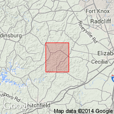
Designated Haney Limestone Member of Golconda Formation. "Limestone and shale: Limestone, light-gray to light-olive-gray, medium to coarse-grained, fossil-fragmental, thick- to thin-bedded, in part oolitic. Contains irregular nodules of silicified limestone which weather to grayish-yellow and white chert blocks." Fossils abundant. "Grayish-green shale in units as much as 3 feet occurs in upper and middle parts of member." Thickness is 25 to 45 ft. Lower contact with Big Clifty Member apparently abrupt though seldom exposed. Overlain by Hardinsburg Sandstone.
Source: GNU records (USGS DDS-6; Reston GNULEX).

- Usage in publication:
-
- Haney Limestone
- Modifications:
-
- Overview
- AAPG geologic province:
-
- Illinois basin
Summary:
Usage of Illinois Geological Survey is Haney Limestone of Golconda Group in southeast part of State and Haney Limestone of Okaw Group in southwest part.
Source: GNU records (USGS DDS-6; Reston GNULEX).
- Usage in publication:
-
- Haney Limestone
- Modifications:
-
- Overview
- AAPG geologic province:
-
- Illinois basin
Summary:
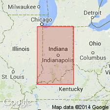
Usage of Indiana Geological Survey is Haney Limestone of Stephensport Group. Dominantly biomicritic limestone but includes skeletal limestone and micritic dolomite. Fossils abundant. Thickness ranges from 20 to 40 ft. Conformably overlies Big Clifty Formation; overlain conformably by Hardinsburg Formation or disconformably by Mansfield Formation (Morrowan).
Source: GNU records (USGS DDS-6; Reston GNULEX).
- Usage in publication:
-
- Haney Limestone Member
- Modifications:
-
- Overview
- AAPG geologic province:
-
- Illinois basin
Summary:
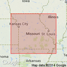
Upper limestone unit of the Golconda Formation which is described as a very light gray, oolitic, cross-bedded limestone 50 ft thick is identified as the Haney Limestone Member of the Golconda Formation.
Source: GNU records (USGS DDS-6; Reston GNULEX).
- Usage in publication:
-
- Haney Limestone Member
- Modifications:
-
- Revised
- AAPG geologic province:
-
- Illinois basin
Summary:
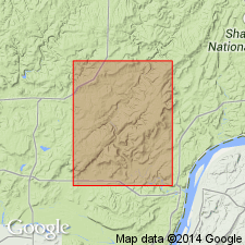
Pg. 7; also Weibel and others, 1991, Illinois Geol. Survey Geol. Quad. Ser. IGQ-8. Haney Limestone Member, upper member of Golconda Formation of Pope Group (all revised). Golconda, reduced to formation rank in this report, includes (ascending) Beech Creek Limestone Member, Fraileys Shale Member, and Haney Limestone Member (all reduced in rank). Only the upper part of Haney is mapped; confined to extreme southeastern corner of Waltersburg quadrangle, Pope County, southeastern Illinois (Weibel and others, 1991; called Haney Limestone). Mapped area extrapolated from Baxter and others' (1967, Illinois Geol. Survey Circ., no. 413) nearby Herod and Shelterville quadrangles. Lies below Hardinsburg Sandstone; contact not exposed in quadrangle. Age is Late Mississippian (Chesterian); is oldest unit mapped in quadrangle.
Source: Publication.
For more information, please contact Nancy Stamm, Geologic Names Committee Secretary.
Asterisk (*) indicates published by U.S. Geological Survey authors.
"No current usage" (†) implies that a name has been abandoned or has fallen into disuse. Former usage and, if known, replacement name given in parentheses ( ).
Slash (/) indicates name conflicts with nomenclatural guidelines (CSN, 1933; ACSN, 1961, 1970; NACSN, 1983, 2005, 2021). May be explained within brackets ([ ]).

