

- Usage in publication:
-
- Hamden limestone
- Modifications:
-
- Named
- Dominant lithology:
-
- Limestone
- AAPG geologic province:
-
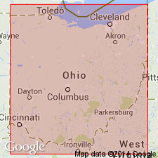
- Appalachian basin
Summary:
Hamden limestone described as hard, dense gray or nearly black fossiliferous ferruginous limestone, 1 ft to 5 ft 8 in. thick. Lies just below or within Oak Hill clay, and on or only a few ft above Lower Kittanning coal. Named Hamden because it occurs at stratigraphic horizon of Hamden iron ore. [In later reports called Hamden member.]
Source: GNU records (USGS DDS-6; Reston GNULEX).
- Usage in publication:
-
- Hamden limestone
- Modifications:
-
- Revised
- AAPG geologic province:
-
- Appalachian basin
Summary:
Hamden limestone included in Lower Kittanning cyclothem, Allegheny series, although not well represented in Perry Co.
Source: GNU records (USGS DDS-6; Reston GNULEX).
- Usage in publication:
-
- Hamden limestone member
- Modifications:
-
- Revised
- AAPG geologic province:
-
- Appalachian basin
Summary:
Hamden limestone member assigned to Strasburg cyclothem in this report. Stout and others (1923, Ohio Geol. Survey, 4th ser., Bull. 26) described a carbonate zone in Oak Hill underclay consisting of limestone, ferruginous limestone, and (or) ironstone. Restudy of type Hamden has revealed that the member is nonmarine and not marine limestone as Stout (1918) intimated and that it belongs to Oak Hill underclay and not to marine shale and limestone overlying Lower Kittanning coal. In this report, name Hamden is restricted to limestone and ironstone member associated with Oak Hill underclay. Thickness about 2 ft. In Allegheny series.
Source: GNU records (USGS DDS-6; Reston GNULEX).

- Usage in publication:
-
- Hamden limestone
- Modifications:
-
- Revised
- AAPG geologic province:
-
- Appalachian basin
Summary:
Hamden limestone restricted. Name Columbiana shale proposed for marine portion of Hamden.
Source: GNU records (USGS DDS-6; Reston GNULEX).
- Usage in publication:
-
- Hamden shale unit
- Modifications:
-
- Revised
- AAPG geologic province:
-
- Appalachian basin
Summary:
Hamden shale unit here assigned to Lower Kittanning Member of Allegheny Formation. Maximum thickness of 11 ft. Also called Columbiana shale unit. Described as dark gray fossiliferous shale. Underlies Oak Hill Clay; overlies Lower Kittanning (#5) coal.
Source: GNU records (USGS DDS-6; Reston GNULEX).

- Usage in publication:
-
- Hamden ore and limestone
- Modifications:
-
- Overview
- AAPG geologic province:
-
- Appalachian basin
Summary:
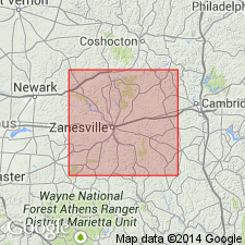
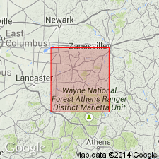
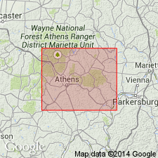
Iron ore named for Hamden Furnace, Clinton Township, Vinton Co., OH. In lower part of Allegheny Formation, above Lower Kittanning coal. In northern OH, marine limestone occurs at this horizon. Unit referred to as Columbiana Member by Sturgeon and DeLong (1964).
Source: GNU records (USGS DDS-6; Reston GNULEX).
For more information, please contact Nancy Stamm, Geologic Names Committee Secretary.
Asterisk (*) indicates published by U.S. Geological Survey authors.
"No current usage" (†) implies that a name has been abandoned or has fallen into disuse. Former usage and, if known, replacement name given in parentheses ( ).
Slash (/) indicates name conflicts with nomenclatural guidelines (CSN, 1933; ACSN, 1961, 1970; NACSN, 1983, 2005, 2021). May be explained within brackets ([ ]).