The National Geologic Map Database is migrating to a new infrastructure. We apologize for any service disruptions during this process.
|
|---|


- Usage in publication:
-
- Guernsey formation*
- Modifications:
-
- Original reference
- Dominant lithology:
-
- Limestone
- Sandstone
- Quartzite
- AAPG geologic province:
-
- Denver basin
Summary:
Guernsey formation. Massive gray limestone, underlain by sandstone, with 3 to 20 feet of conglomeratic quartzite at base. Thickness of formation 75 to 200 feet. Contains Mississippian fossils. Unconformably underlies Hartville formation and rests unconformably on Algonkian Whalen group and also on intrusive granites of Algonian(?) age. Age is Mississippian.
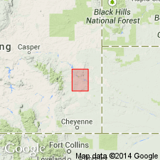
[Mapped around town of Guernsey, Hartville uplift, Hartville quadrangle (scale 1:125,000), Platte Co., southeastern WY.]
Source: US geologic names lexicon (USGS Bull. 896, p. 887-888).
- Usage in publication:
-
- Guernsey formation
- Modifications:
-
- Not used
- AAPG geologic province:
-
- Denver basin
Summary:
The Guernsey formation of Smith, 1903 (USGS Hartville folio, no. 91) not used in the Hartville uplift, Wyoming, Denver basin. A three part division of Smith's (1903) Guernsey formation is recognized. The lower 5+ feet correlated with and assigned to Cambrian Deadwood sandstone of Black Hills area; the middle limestone correlated with and assigned to Englewood limestone of Black Hills area; the upper massive limestone correlated with and assigned to Pahasapa limestone of Black Hills area. Report includes measured sections.
Source: Modified from GNU records (USGS DDS-6; Denver GNULEX).
- Usage in publication:
-
- Guernsey formation*
- Modifications:
-
- Age modified
- AAPG geologic province:
-
- Denver basin
Summary:
Guernsey formation. In Hartville area, southeastern Wyoming, formation divisible into two units, upper consists of limestone and dolomite of Mississippian age and lower consists of dolomite and sandstone of Devonian age. Thickness as much as 300 feet. Underlies Hartville; overlies Precambrian.
Source: US geologic names lexicon (USGS Bull. 1200, p. 1629-1630).
- Usage in publication:
-
- Guernsey Formation
- Modifications:
-
- Not used
- AAPG geologic province:
-
- Denver basin
Summary:
Pg. 11 (fig. 5), 12, 36-37. Guernsey Formation of Smith (1903) includes strata between Whalen Group (Precambrian) and Casper Formation (Pennsylvanian and Permian) in the Hartville quadrangle. Present investigation indicates Smith's Guernsey = (ascending) Fremont Canyon Sandstone, Englewood Formation, and Madison Limestone, and the Guernsey is considered superfluous (but not abandoned).
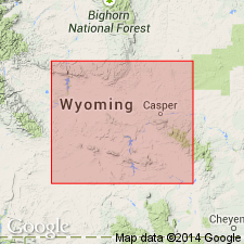
Type section considered to be Hartville Canyon section on south-facing nose immediately east of North Platte River below Guernsey Reservoir, in S/2 NE/4 sec. 27, T. 27 N., R. 66 W., [Guernsey Reservoir 7.5-min quadrangle], Platte Co., eastern WY. It is in vicinity of Smith's (1903, p. 2) measured section of the Guersney Formation, near town of Fairbank [no longer exists], which shows the general character of the beds composing the formation.
Source: Publication.
For more information, please contact Nancy Stamm, Geologic Names Committee Secretary.
Asterisk (*) indicates published by U.S. Geological Survey authors.
"No current usage" (†) implies that a name has been abandoned or has fallen into disuse. Former usage and, if known, replacement name given in parentheses ( ).
Slash (/) indicates name conflicts with nomenclatural guidelines (CSN, 1933; ACSN, 1961, 1970; NACSN, 1983, 2005, 2021). May be explained within brackets ([ ]).